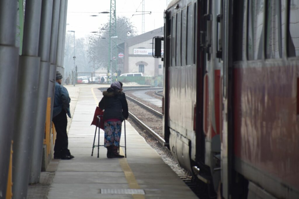
New and old, used and refurbished – the meeting point of public transport and the circular economy
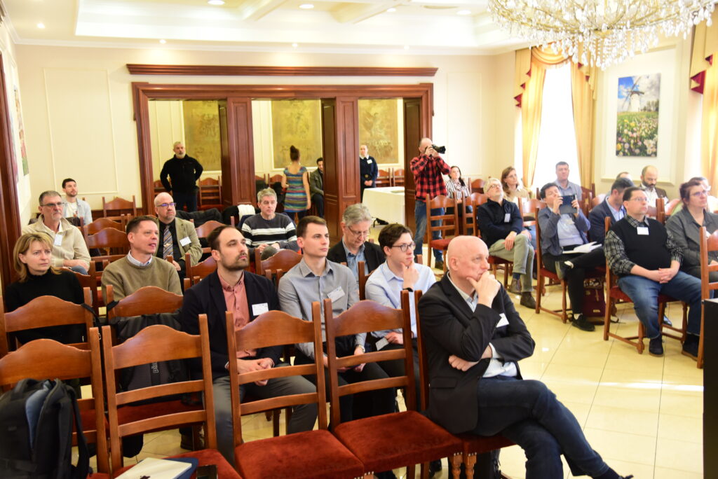
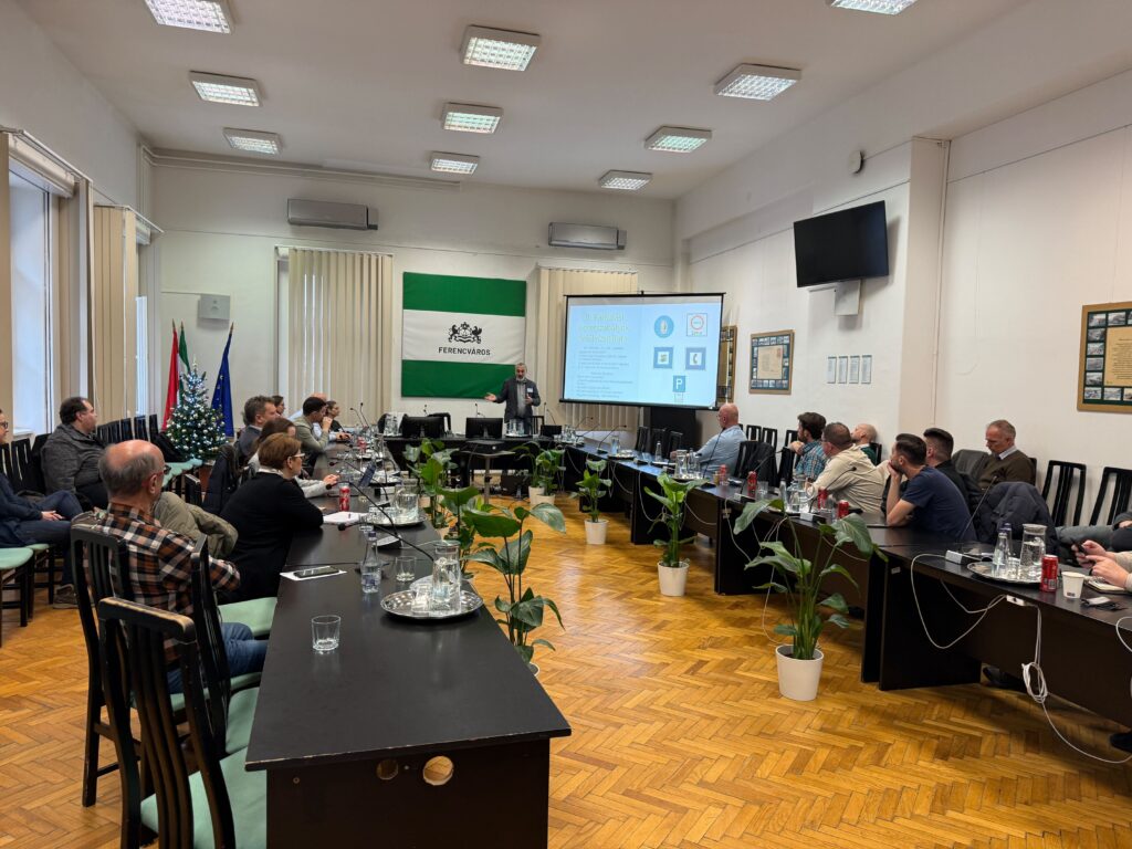
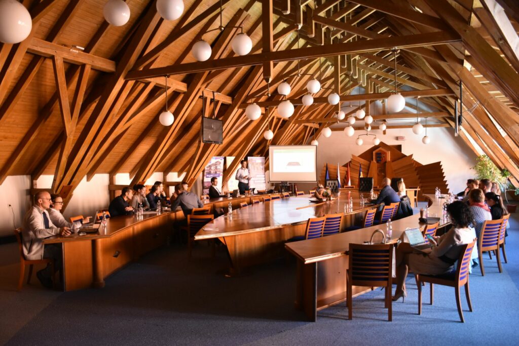
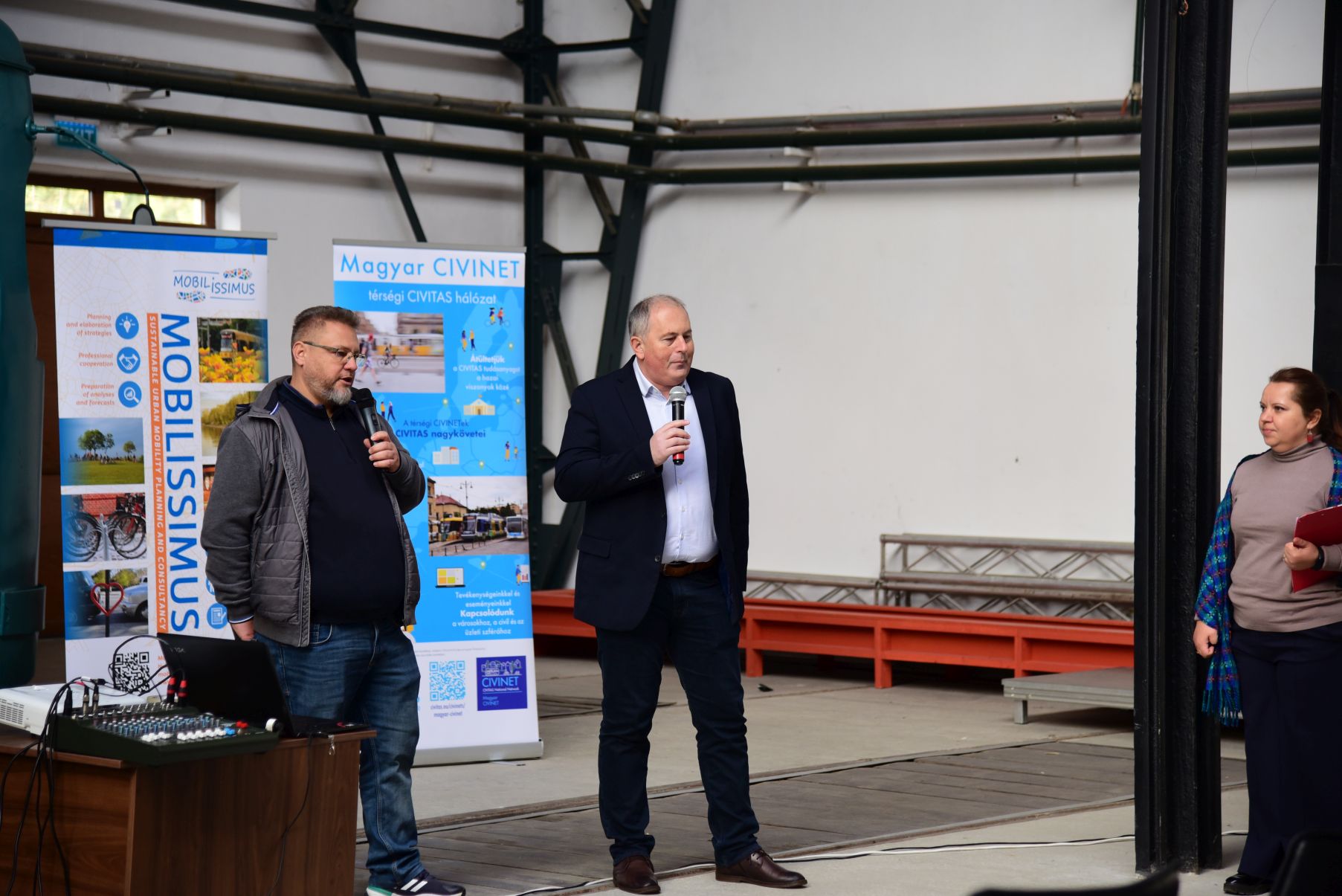
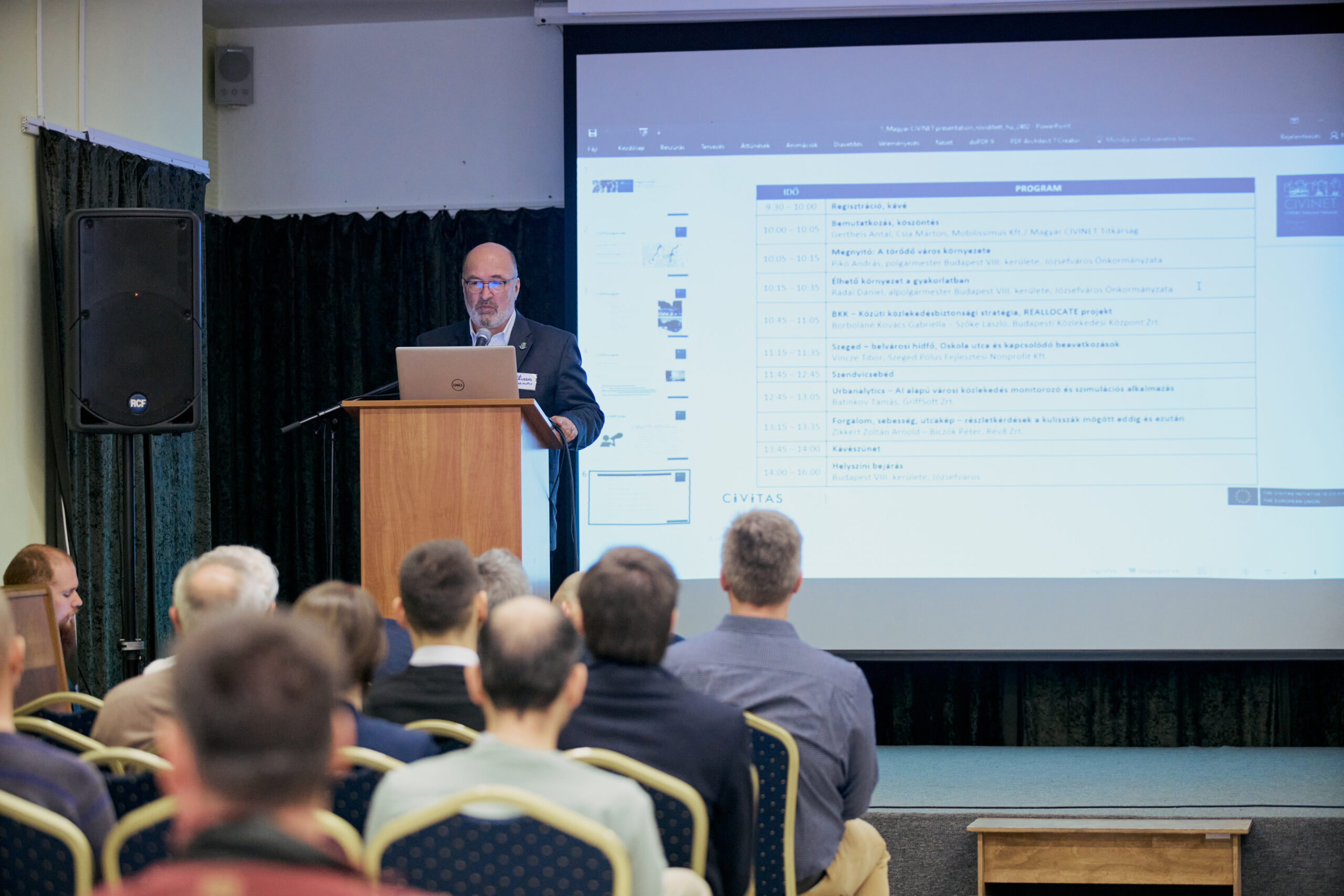
As the Secretariat of Magyar CIVINET, Mobilissimus, in cooperation with Szeged Transport Company (SZKT), organised a professional event titled “New and old, used and refurbished – the meeting point of public transport and the circular economy” on 12 February 2026 in Szeged, within the framework of the INTERREG CE4CE project.
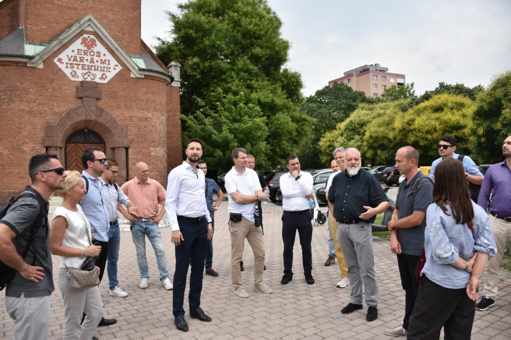
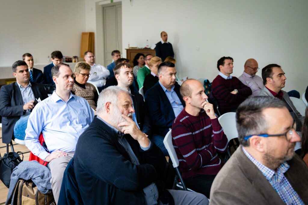
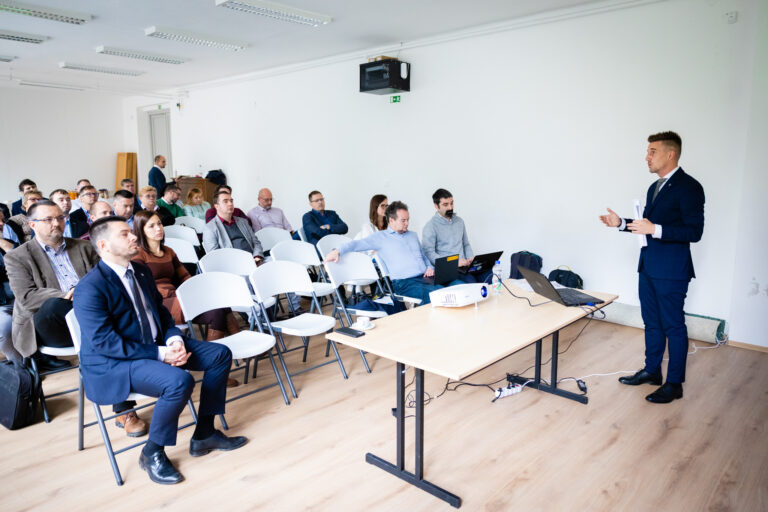
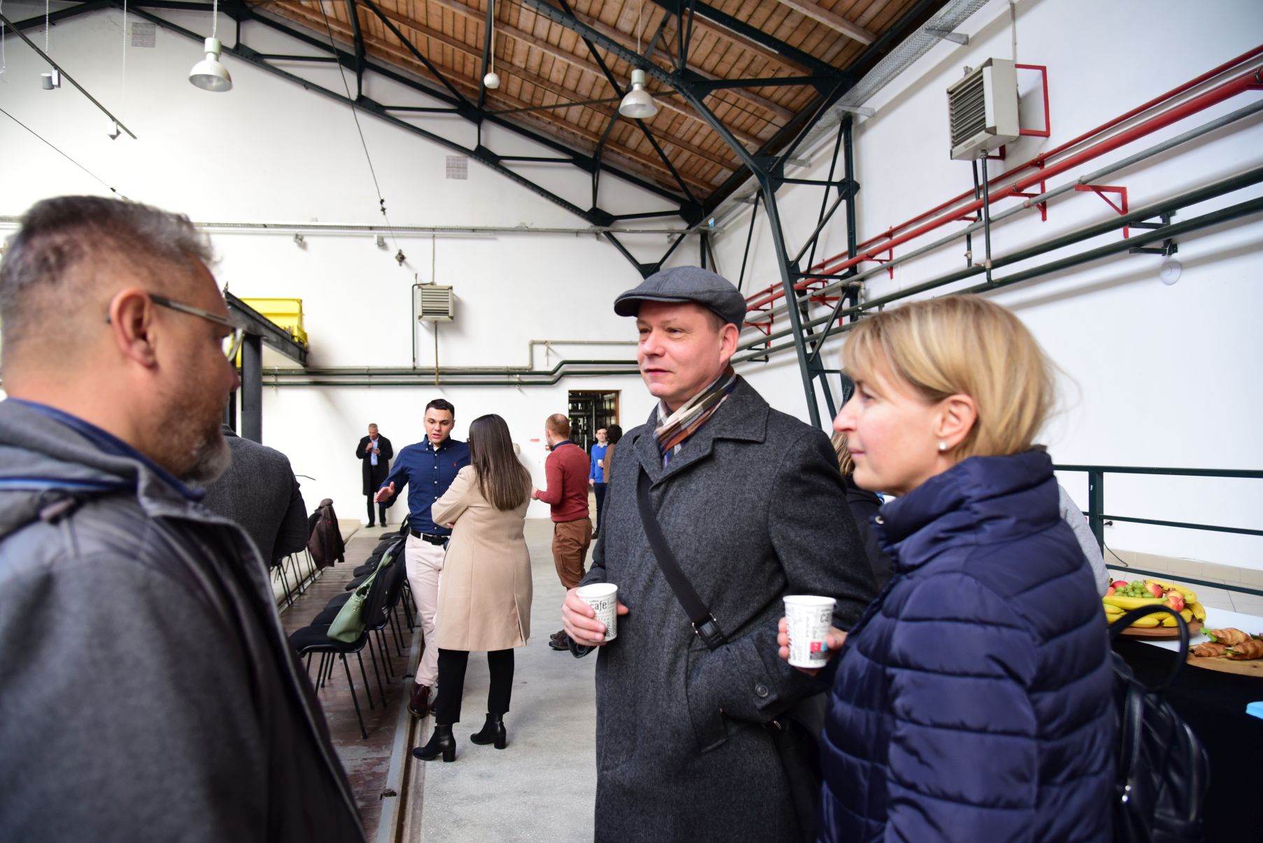
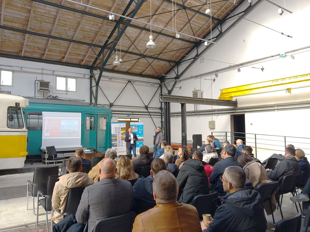
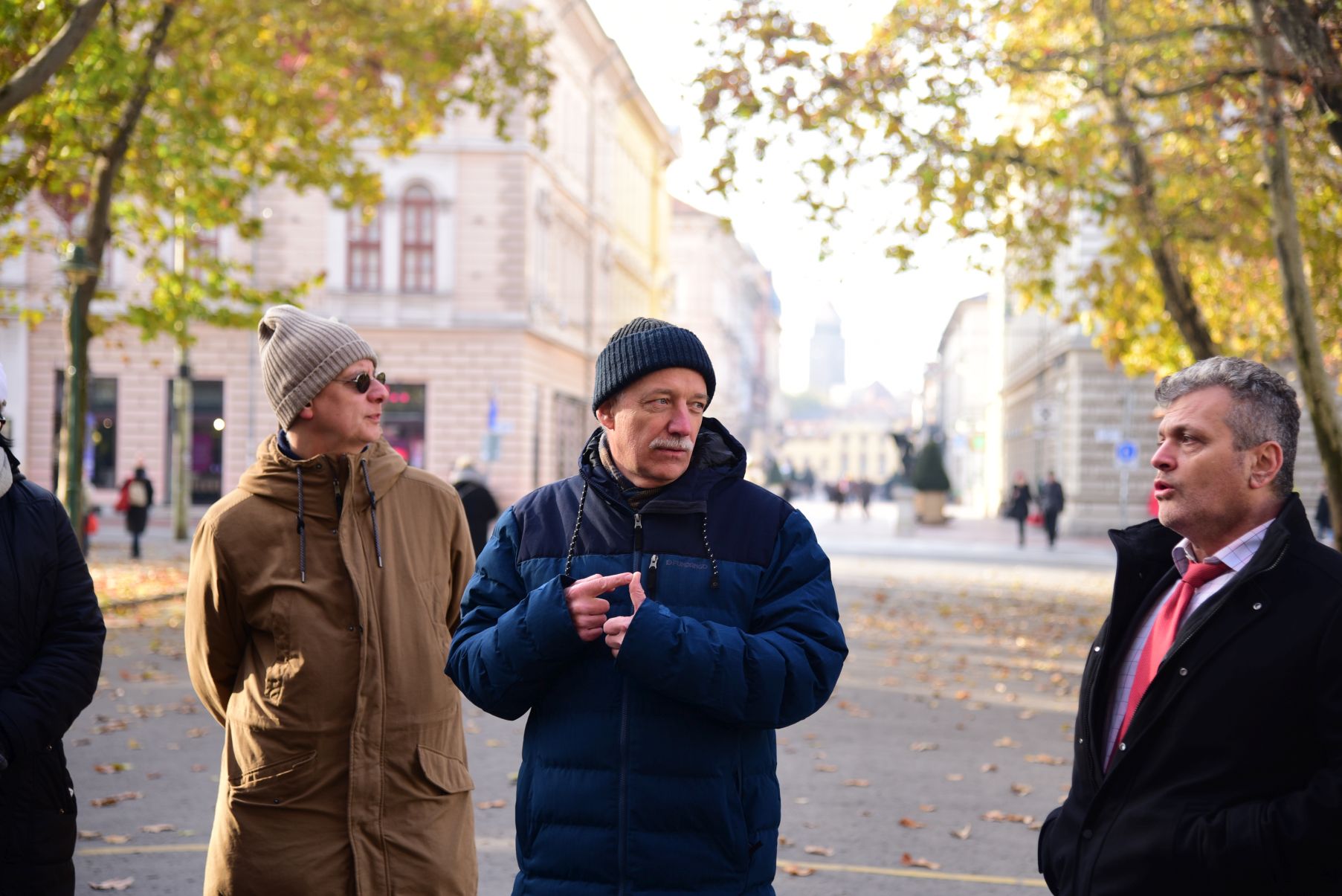
The morning programme consisted of professional presentations and discussions, while in the afternoon participants were invited by the Szeged Transport Company to a site visit at the tram depot on Pulz Street.
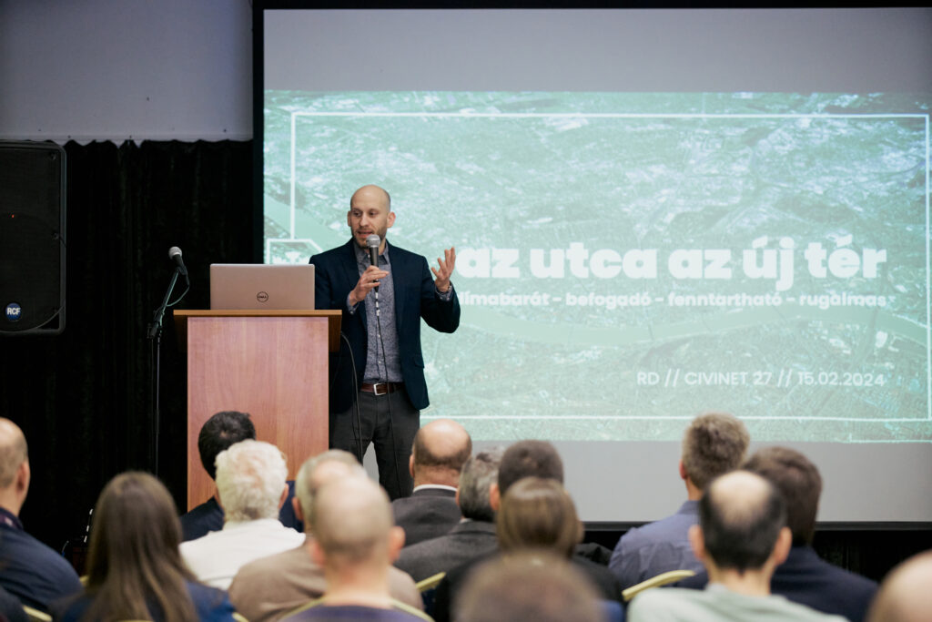
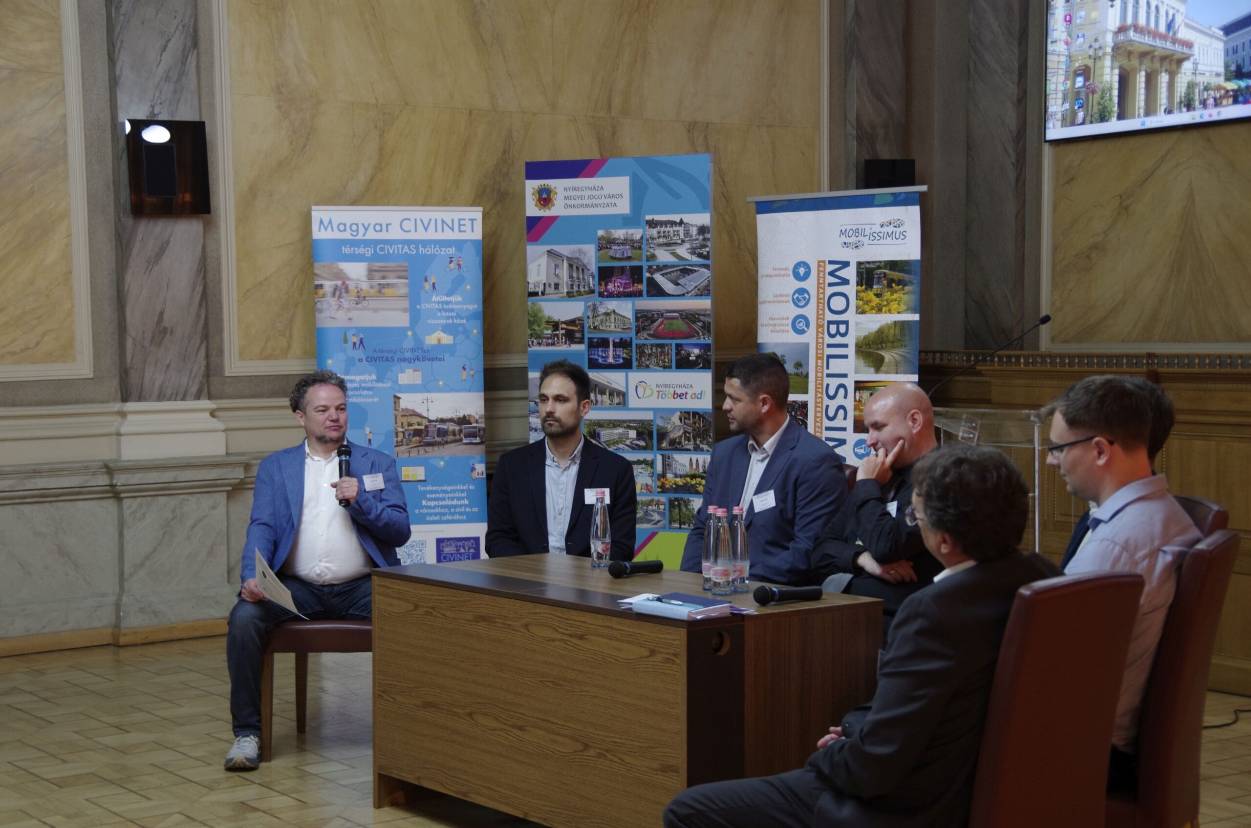
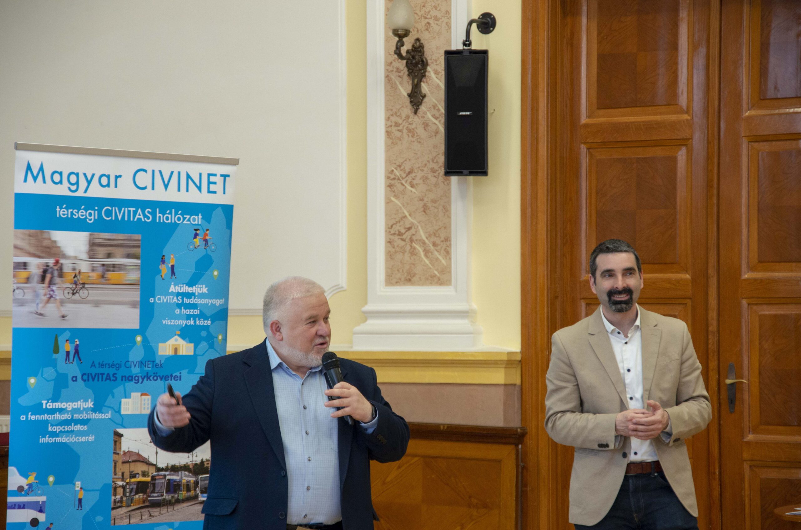
The event was opened by Deputy Mayor Sándor Nagy. The City of Szeged has long been compelled to purchase used vehicles and put them into operation following refurbishment; however, public transport has always remained a priority. This year, a net amount of HUF 13.4 million has been allocated to maintaining public transport services, of which only 23 percent is covered by passenger fares.
Sándor Nagy emphasised that sustainable mobility represents the most cost-effective and sustainable solution for the city’s residents.
Deputy Mayor Sándor Nagy
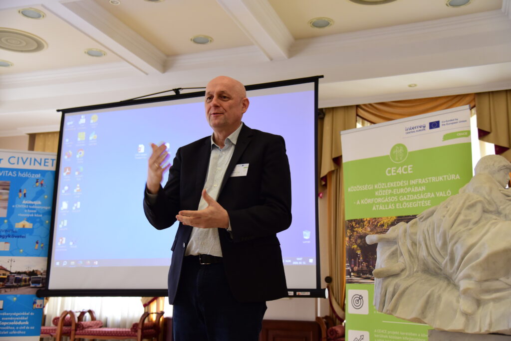
Photo: András Ekés
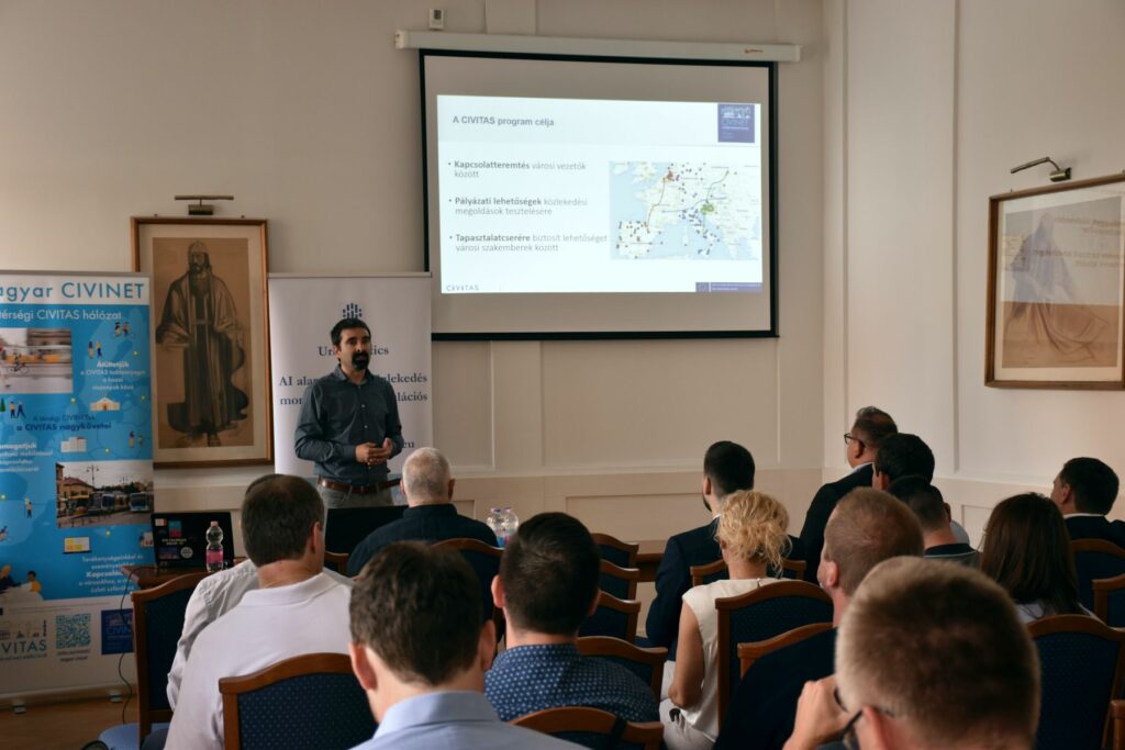
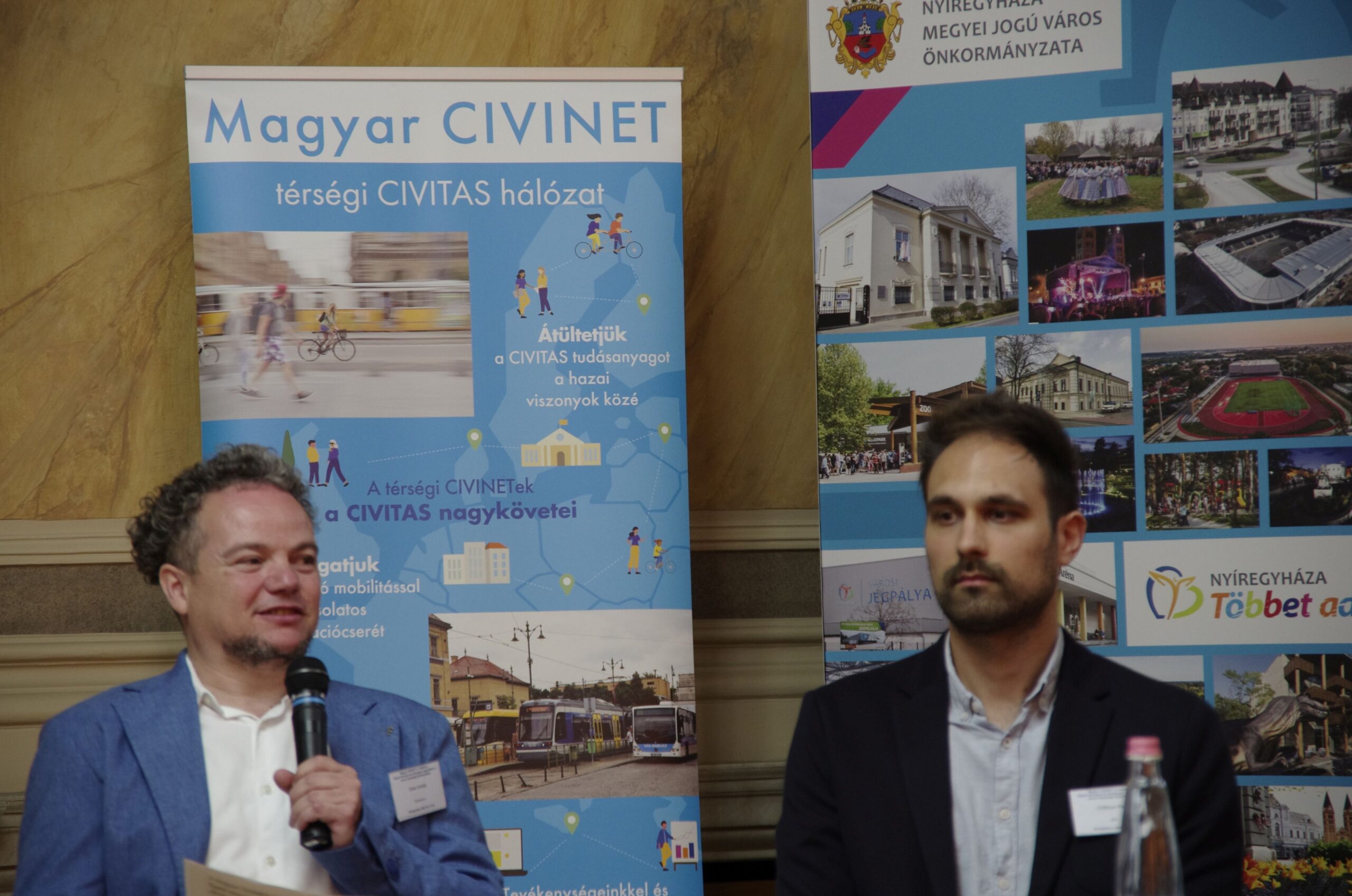
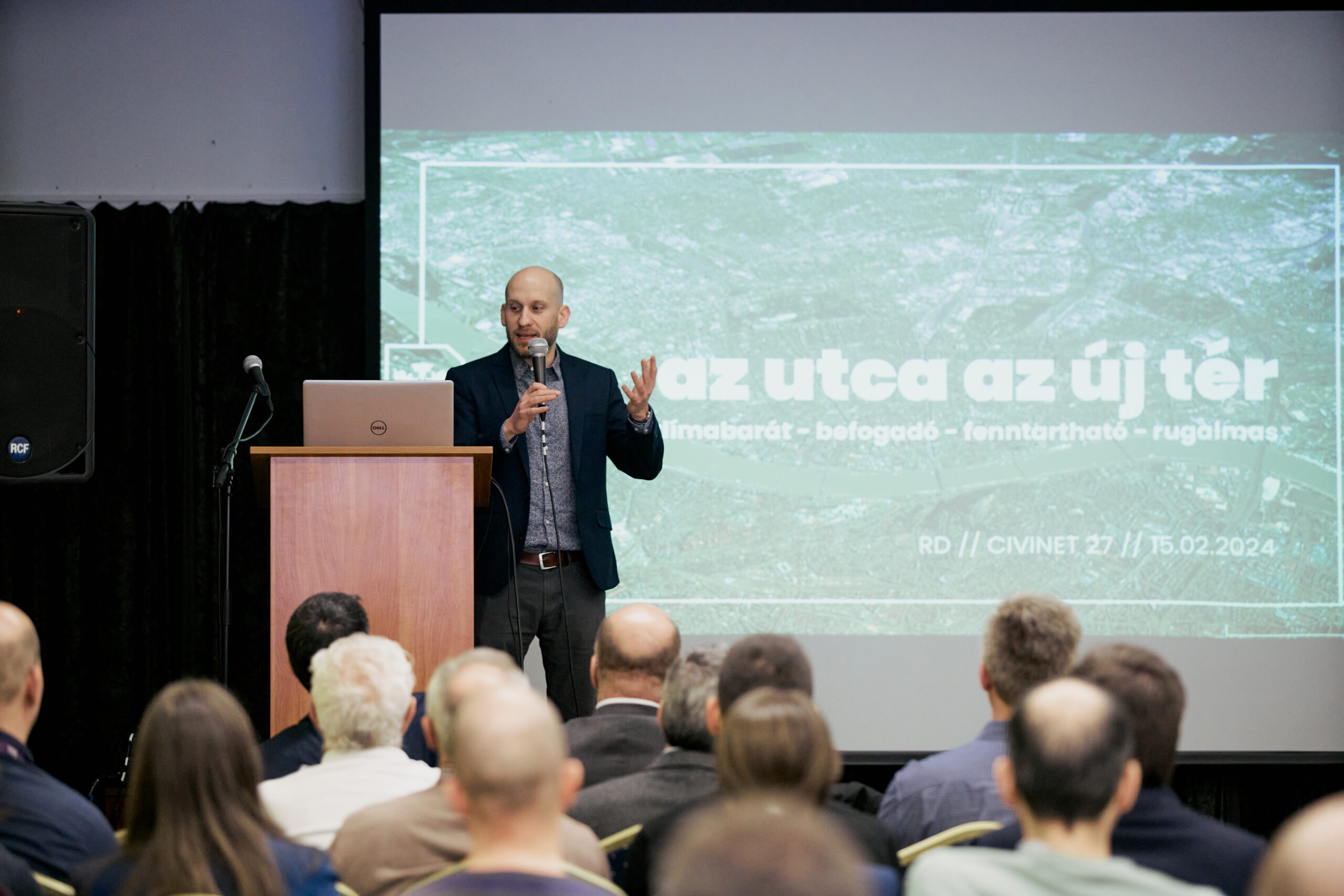
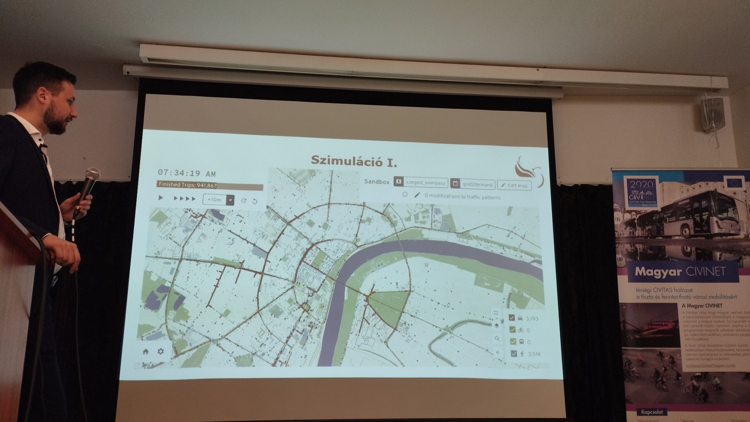
Introduction to the CE4CE project
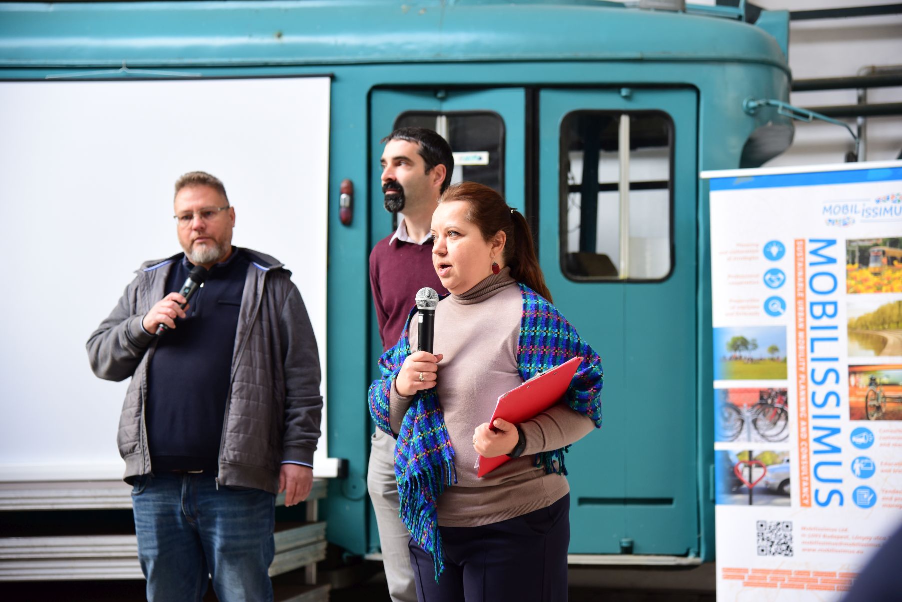
Following the welcome speech, Nikolett Csörgő, a colleague from Mobilissimus, presented the Interreg CE4CE project, covering the project structure, useful materials—such as the Circularity Compass and the Knowledge Platform—and the broad dissemination of its results.
The presentation also highlighted pilot projects testing circular economy approaches, including data analysis in Leipzig and Bergamo, system optimisation in Gdynia, and use of second-life batteries in Maribor.
Nikolett Csörgő, Mobilissimus
Photo: András Ekés/Mobilissimus
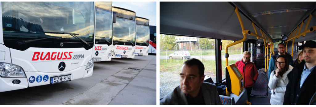
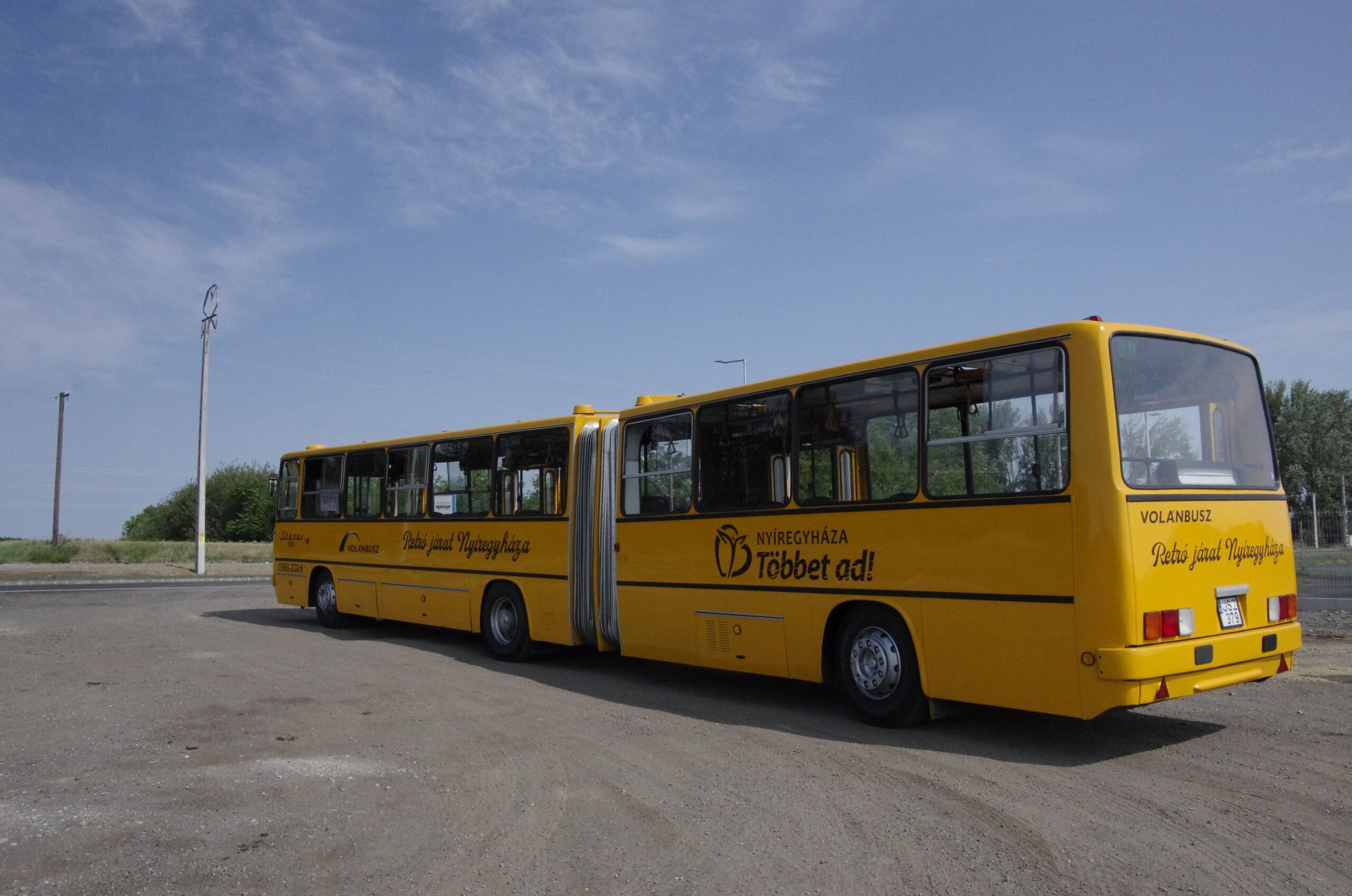
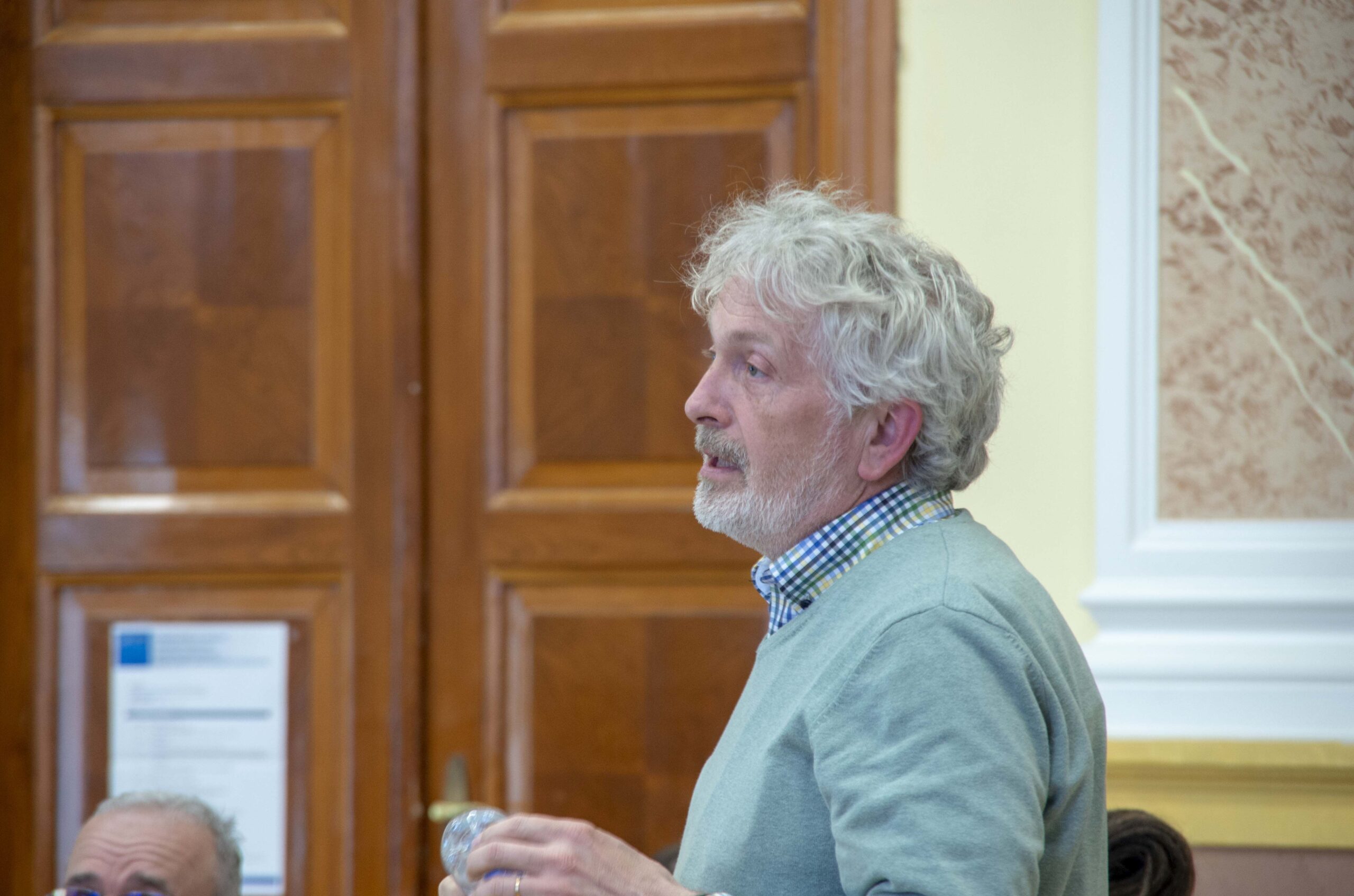
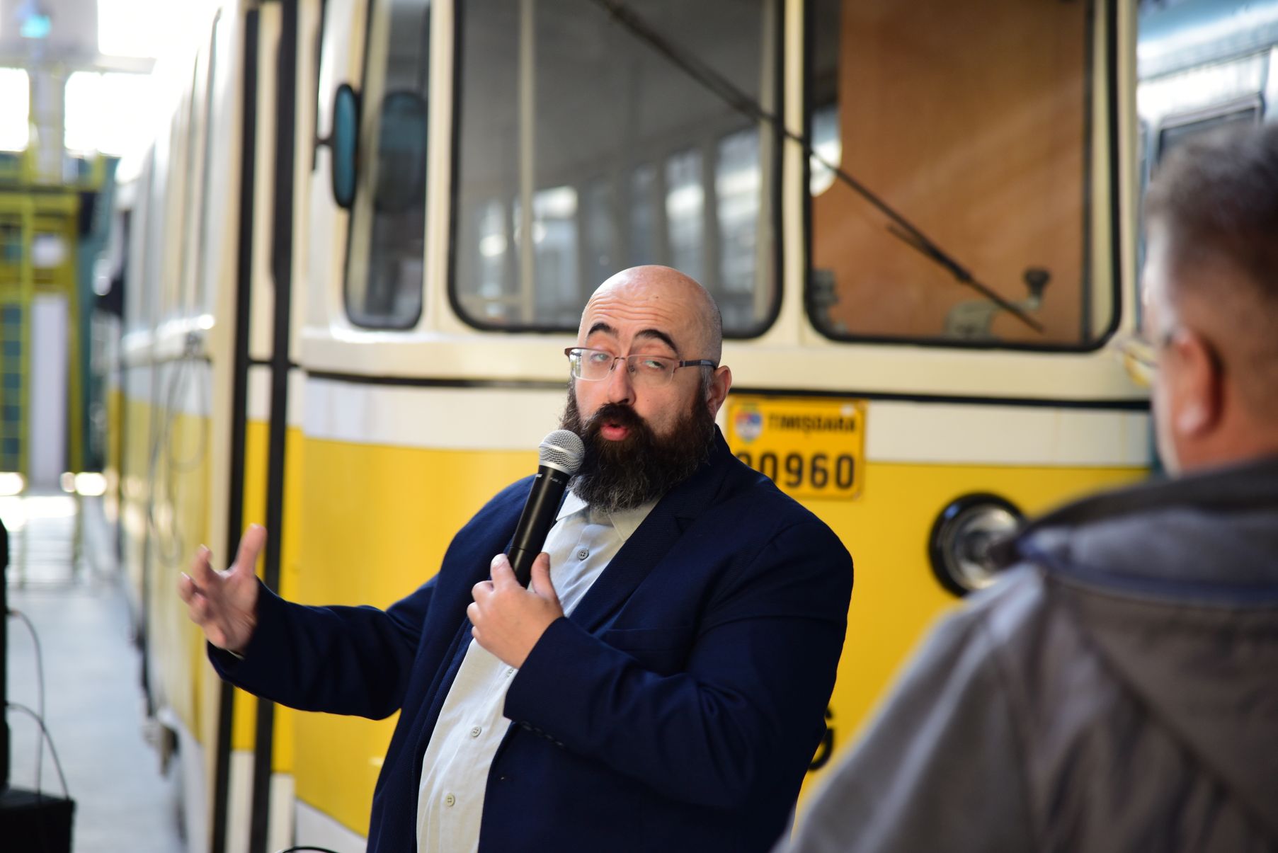
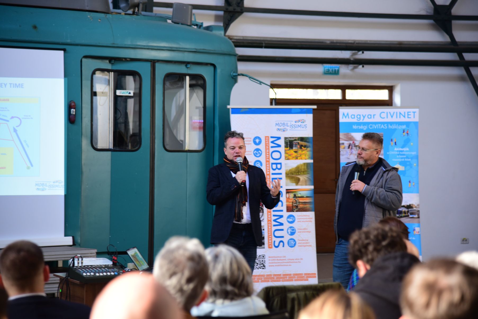
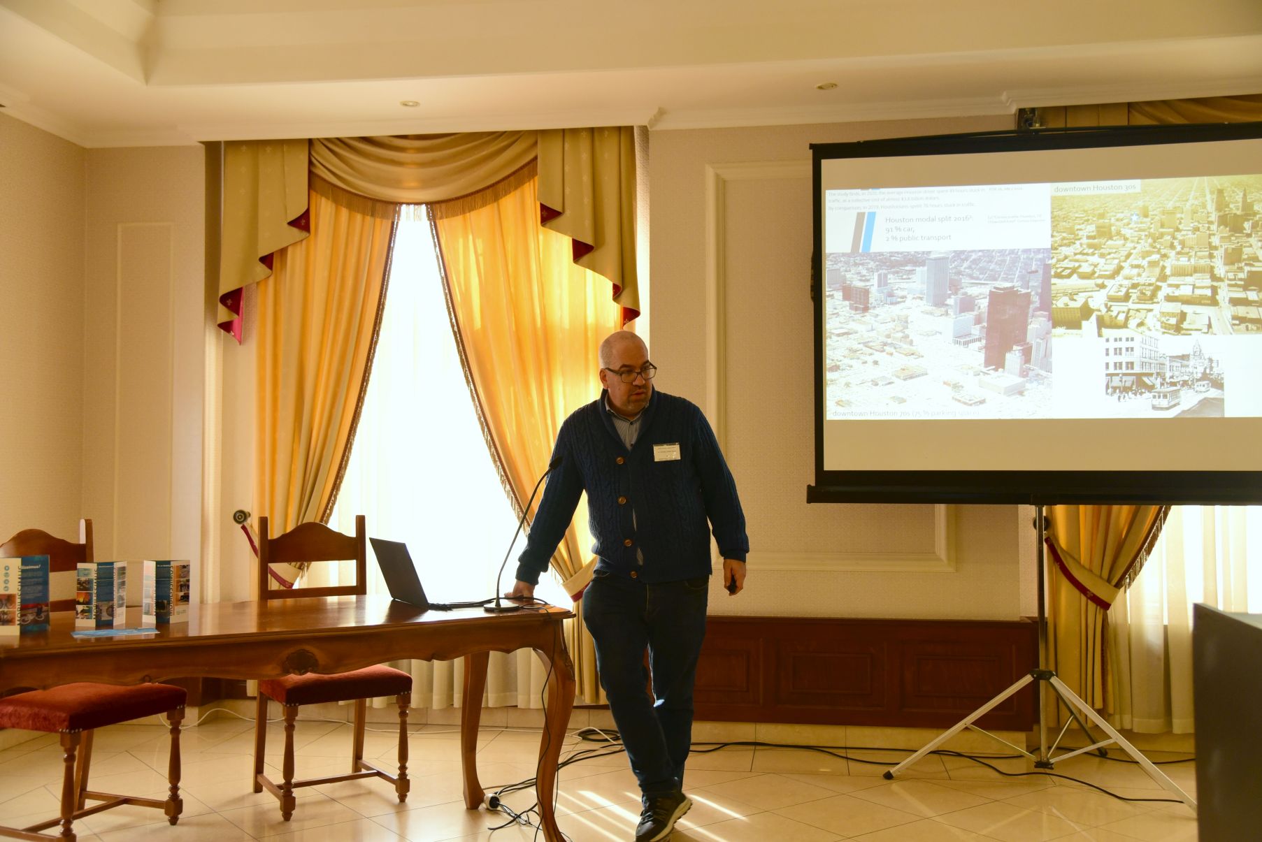
Second-hand vehicles – an opportunity and a lifeline
On the used vehicle market, everything from buses and trams to train sets is available; however, it is crucial for a transport operator to carefully consider what types of vehicles and with what history they intend to purchase.
András Ekés, managing director of Mobilissimus, introduced three approaches:
- “Buying blind” – vehicles purchased as an emergency measure.
- “Low demand, low risk” – proven, mass-produced vehicles acquired by secondary operators.
- “Preparing for long-term use” – cost-effective vehicles operational for decades, sometimes reintroduced after refurbishment or full reconstruction.
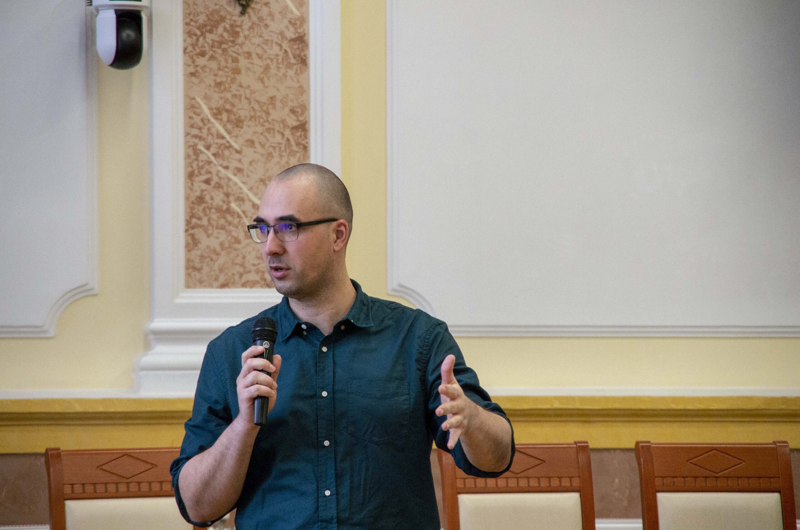
András Ekés, Mobilissimus
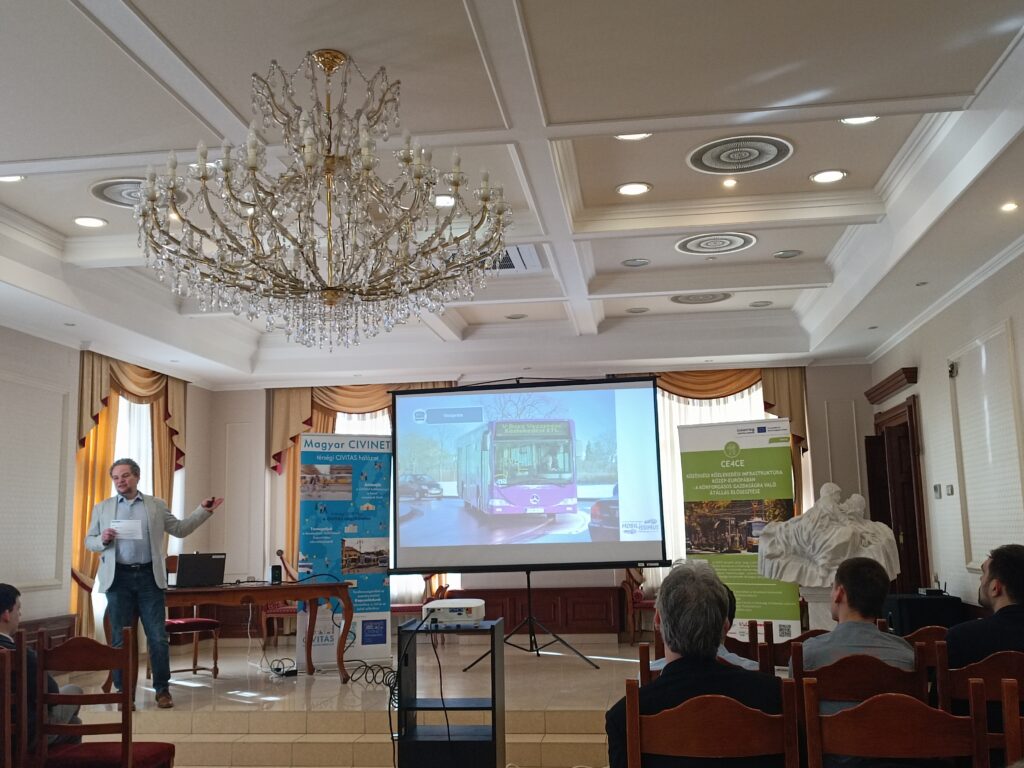
Photo: Ráchel Surányi/Mobilissimus
“We’re not rich enough to buy cheap”
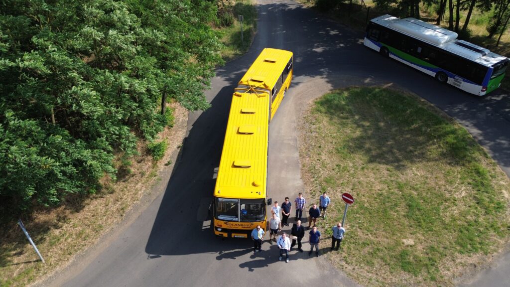
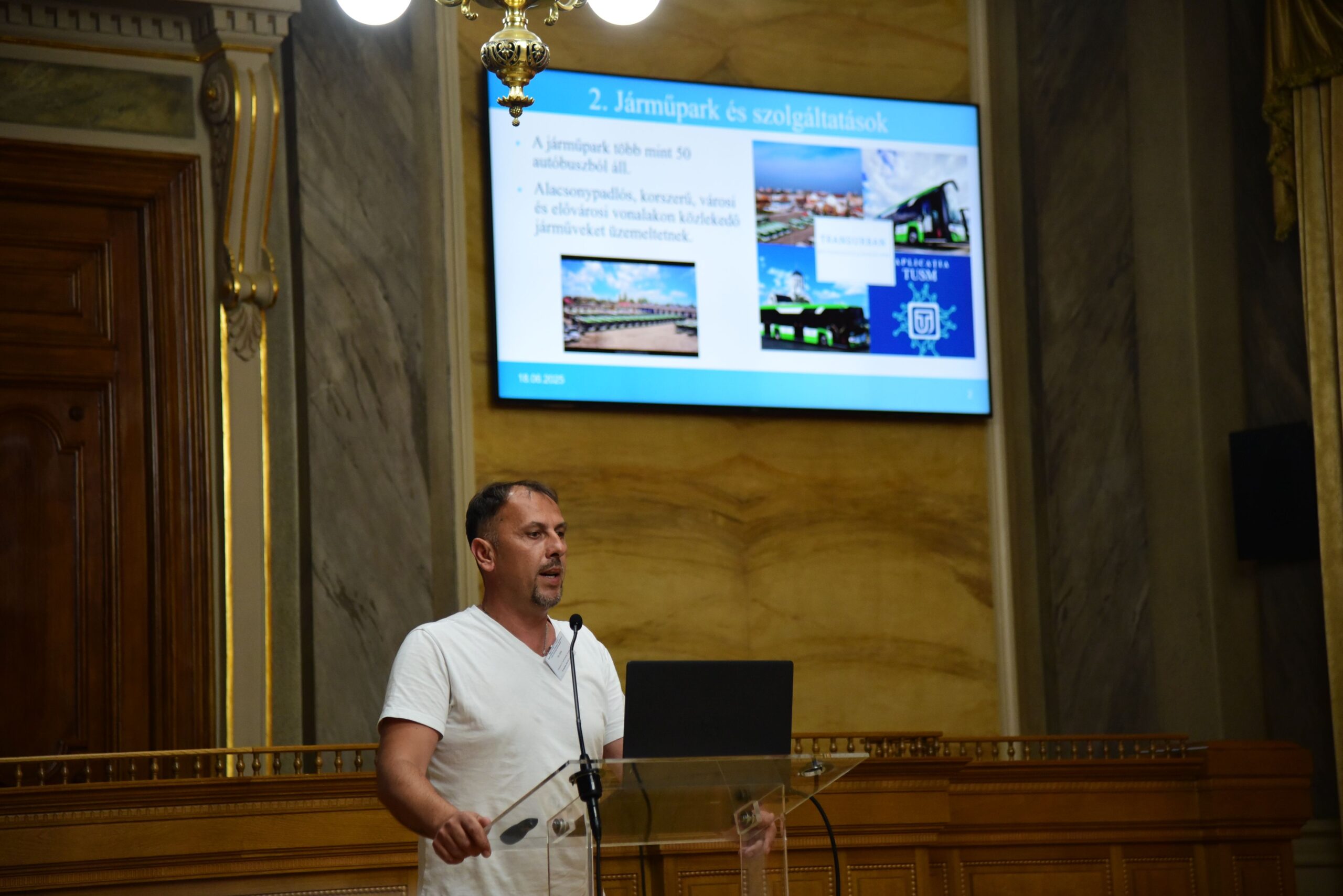
István Polgári, managing director of V-Busz Ltd. (transport company of Veszprém), briefly presented the history of the company. After taking over services from ÉNYKK (Northwest Hungarian Transport Centre) in 2019, they initially acquired various types of used vehicles as a temporary fleet.
Since 2022, V-Busz has operated a new, standardized diesel fleet (MAN Lion’s City), supplemented with electric buses. A unified, new fleet allows for more predictable costs, lower fuel consumption, and fewer spare parts, though design flaws could affect the entire fleet. Starting such a programme required significant investment, supported by decision-makers in Veszprém.
István Polgári, V-Busz
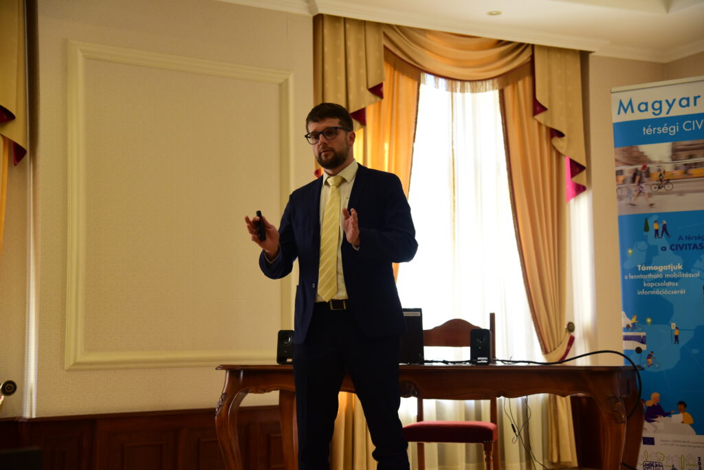
Photo: András Ekés/Mobilissimus
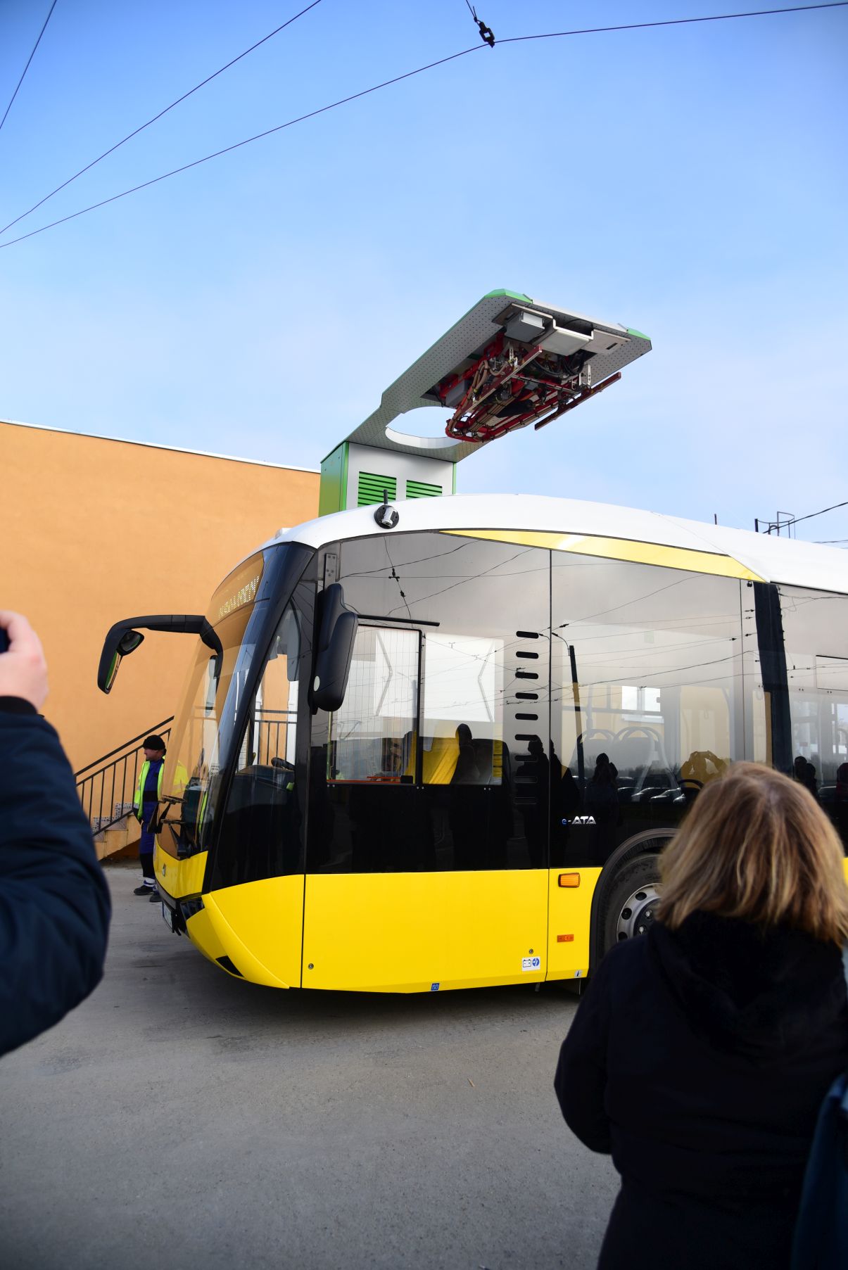
Electric fleet in Veszprém
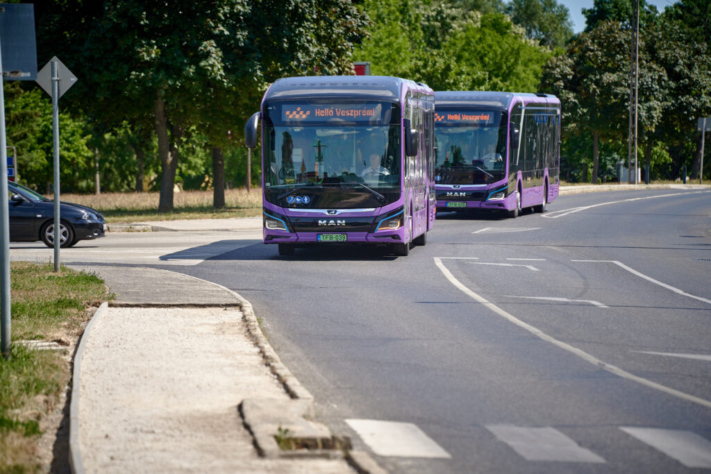
Photo: István Polgári
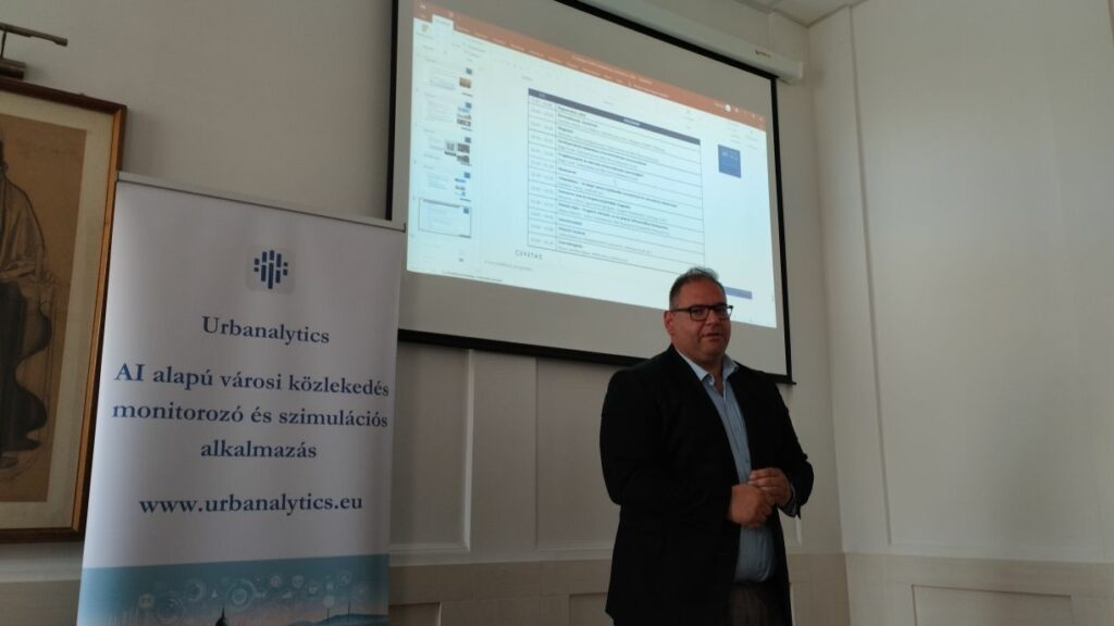
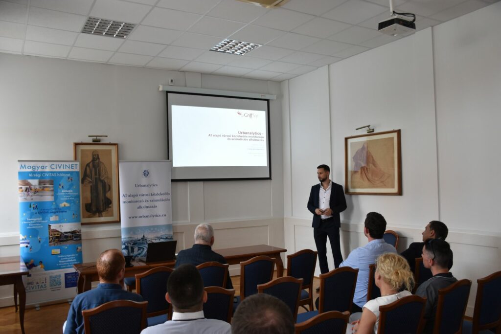
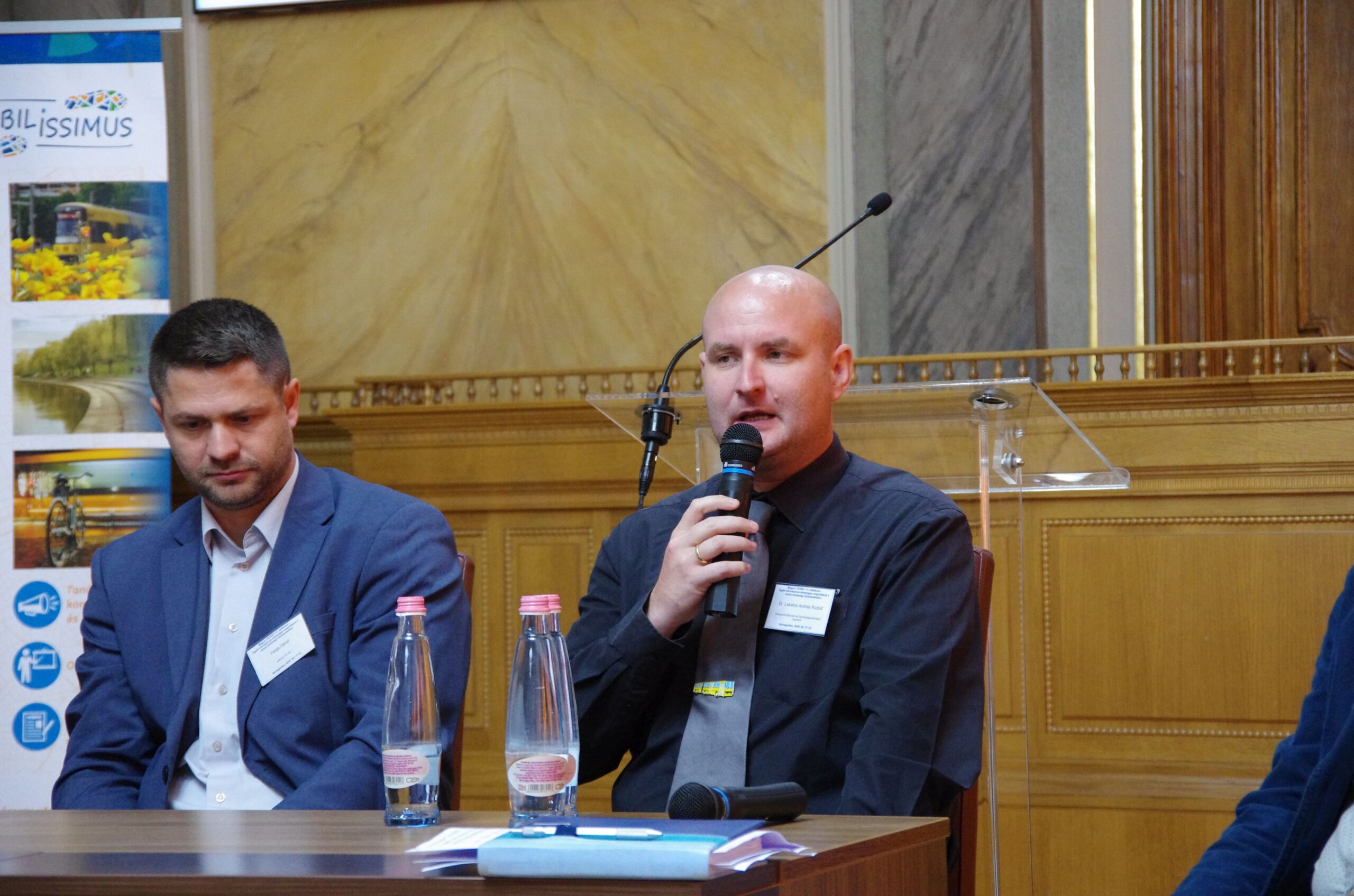
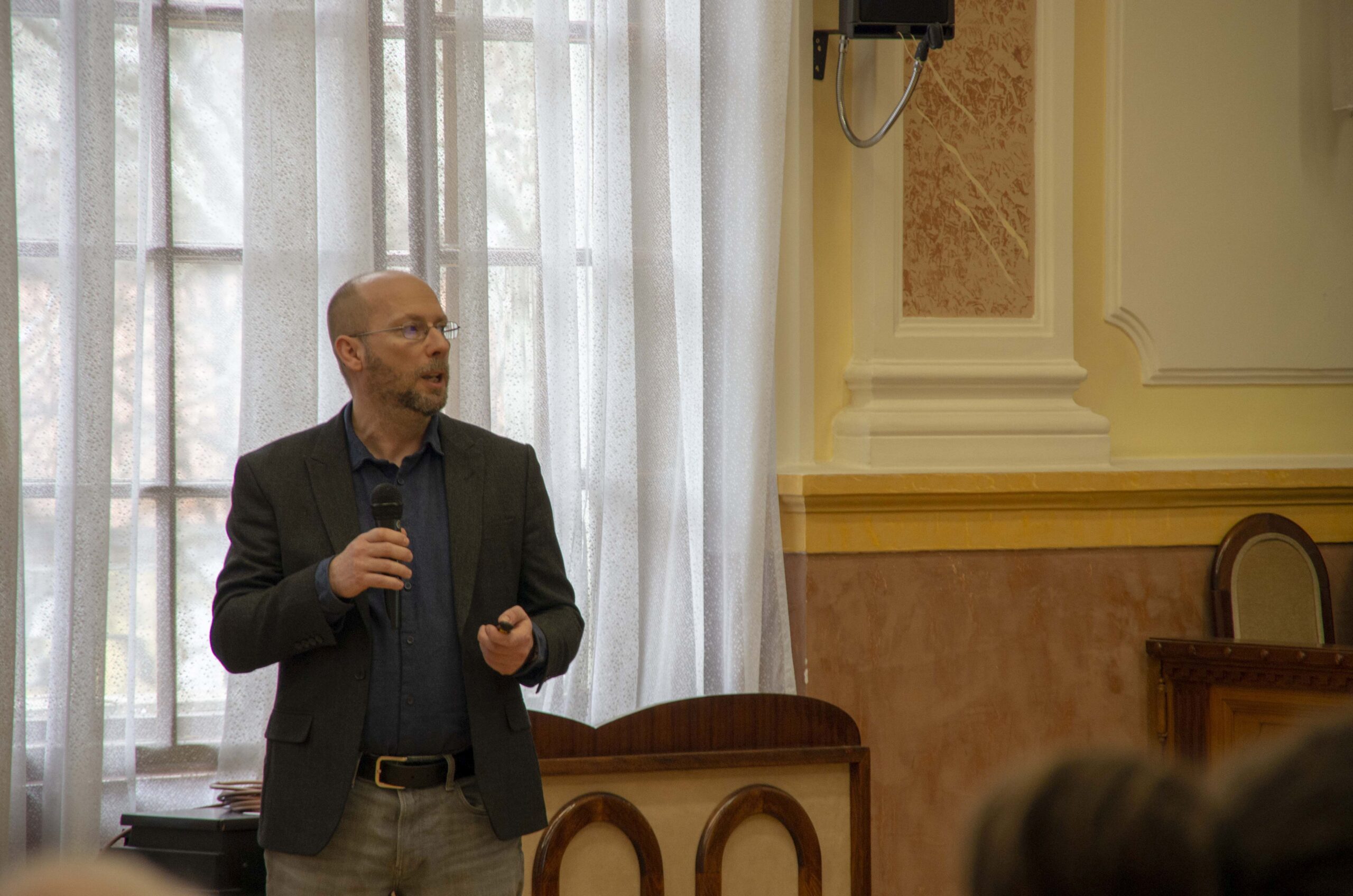
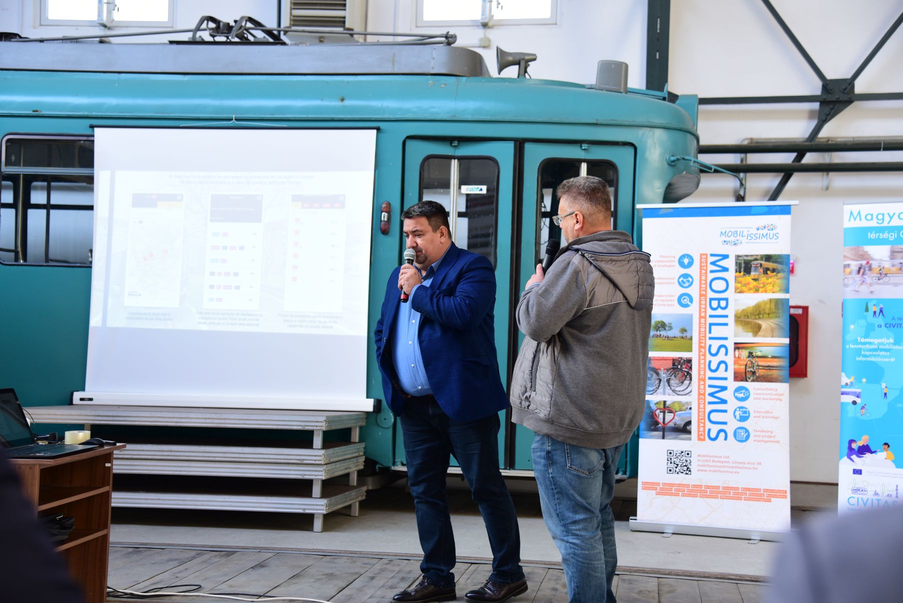
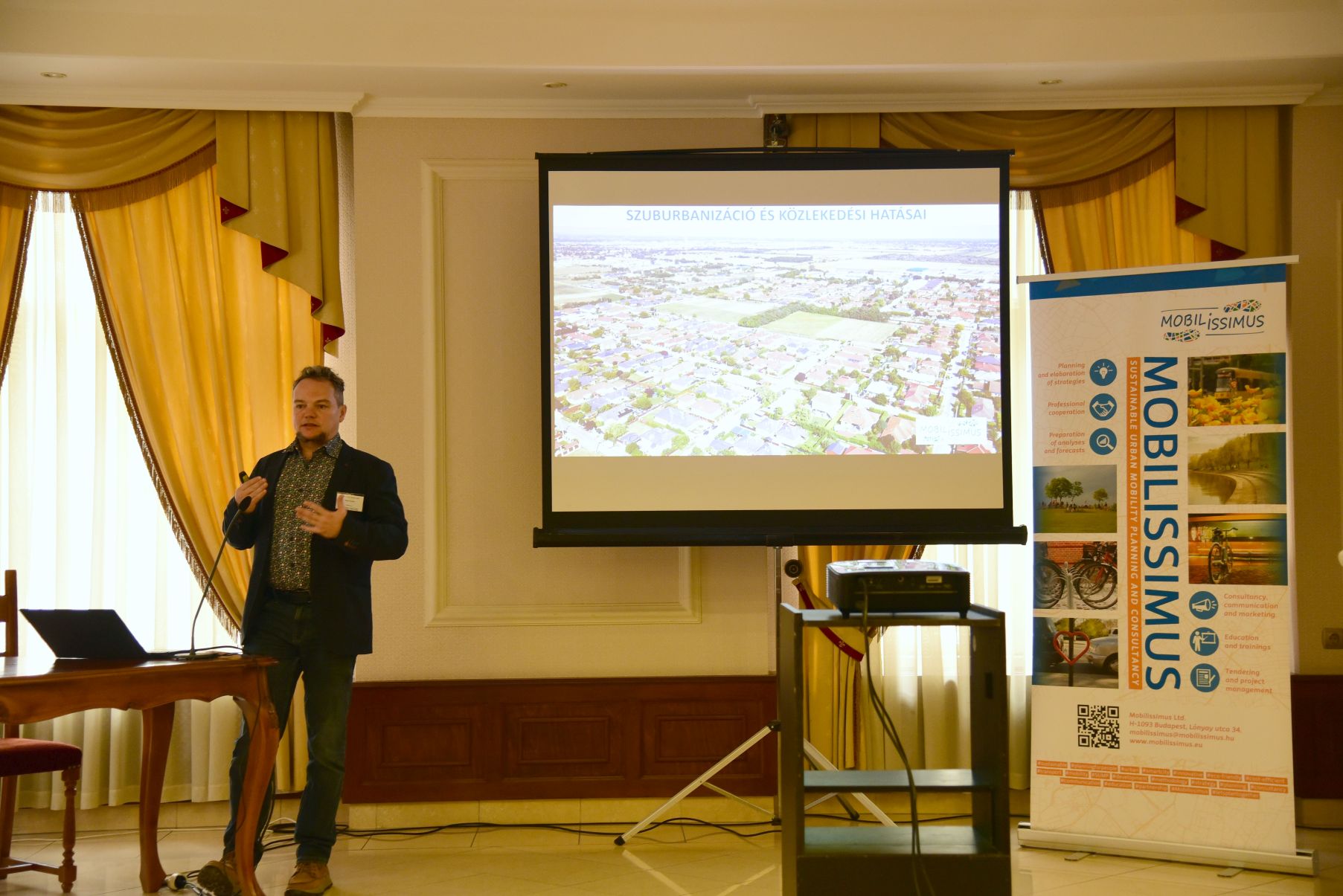
Comparative assessment of vehicle-side costs in local bus transport
Dr. András Lakatos, a researcher at the Faculty of Transportation Engineering and Vehicle Engineering, Budapest University of Technology and Economics, presented joint research with Dr. János Tóth on vehicle-side costs in local bus transport.
The presentation introduced a comprehensive model calculating total lifetime operating costs, including purchase, energy, fuel, maintenance, and other costs, for different bus types and propulsion technologies. Participants saw the model in practice through case studies from Paks and Gödöllő, and Dr. Lakatos also highlighted innovative opportunities in energy use and storage.
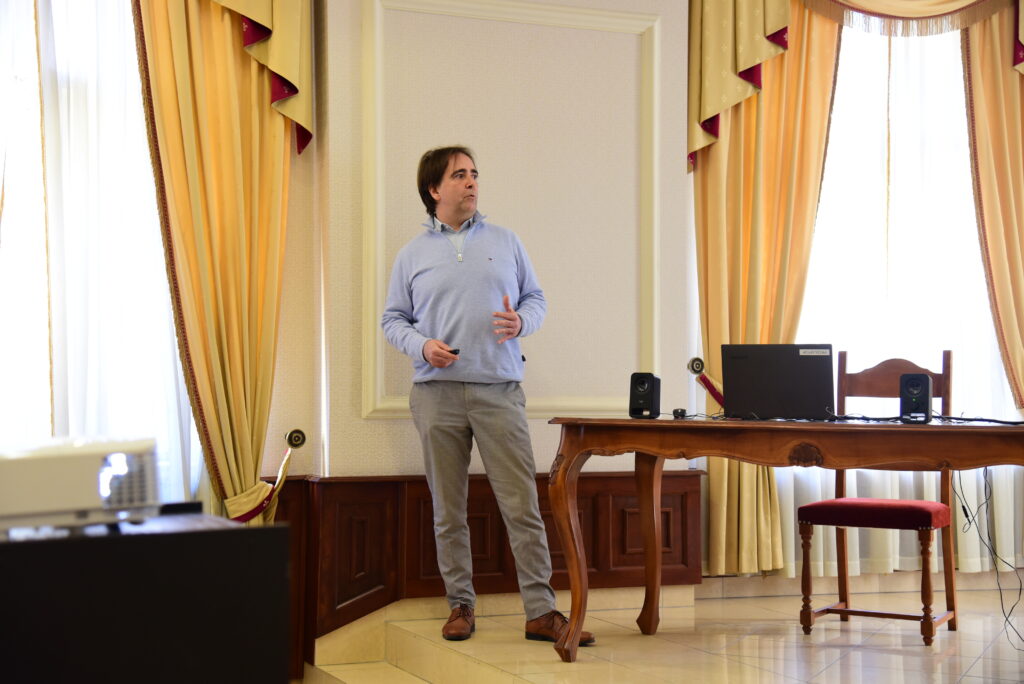
András Lakatos, PhD
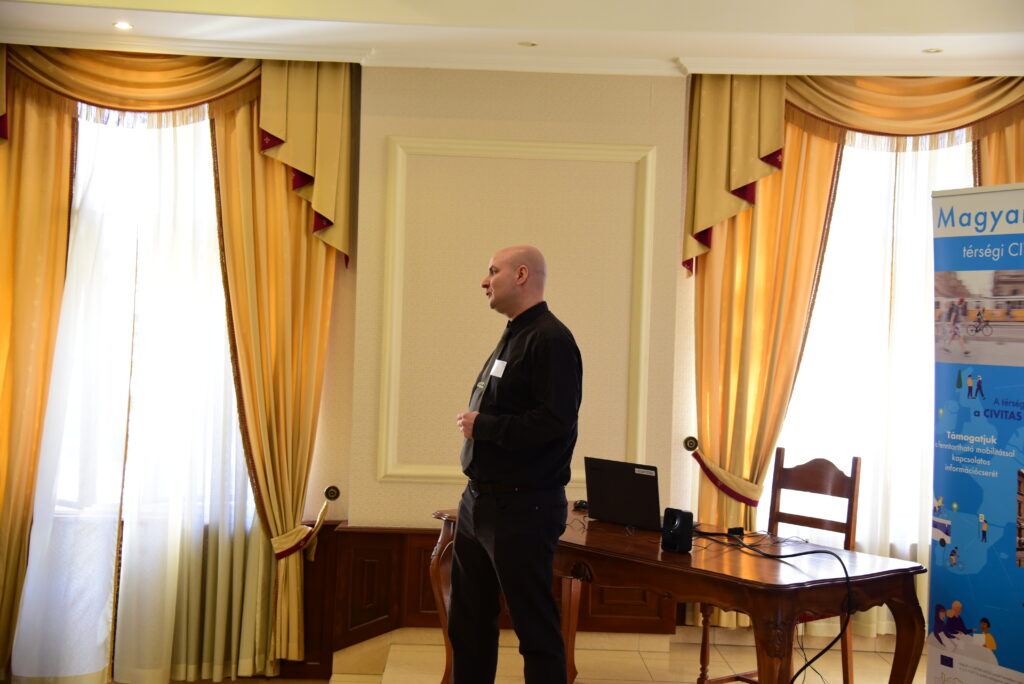
Photo: András Ekés/Mobilissimus
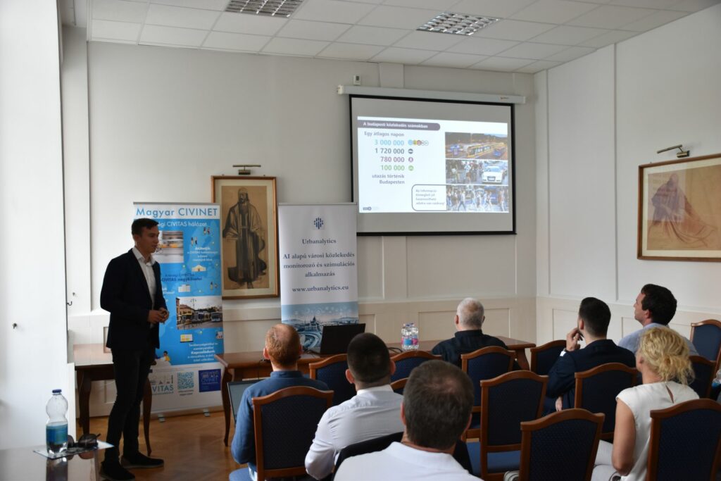
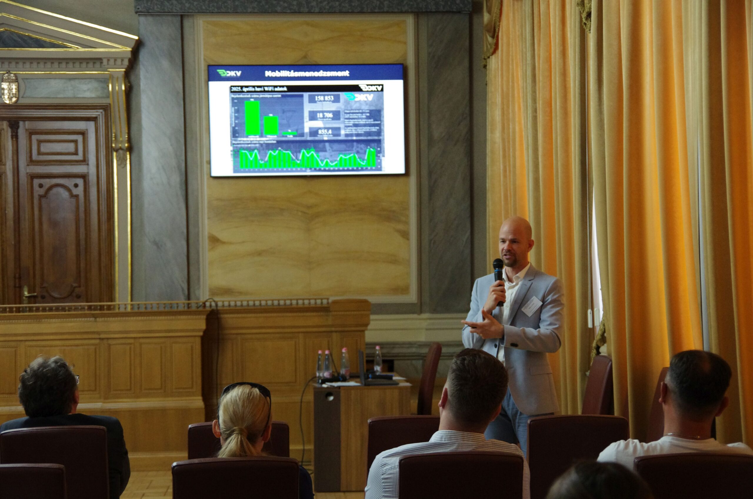
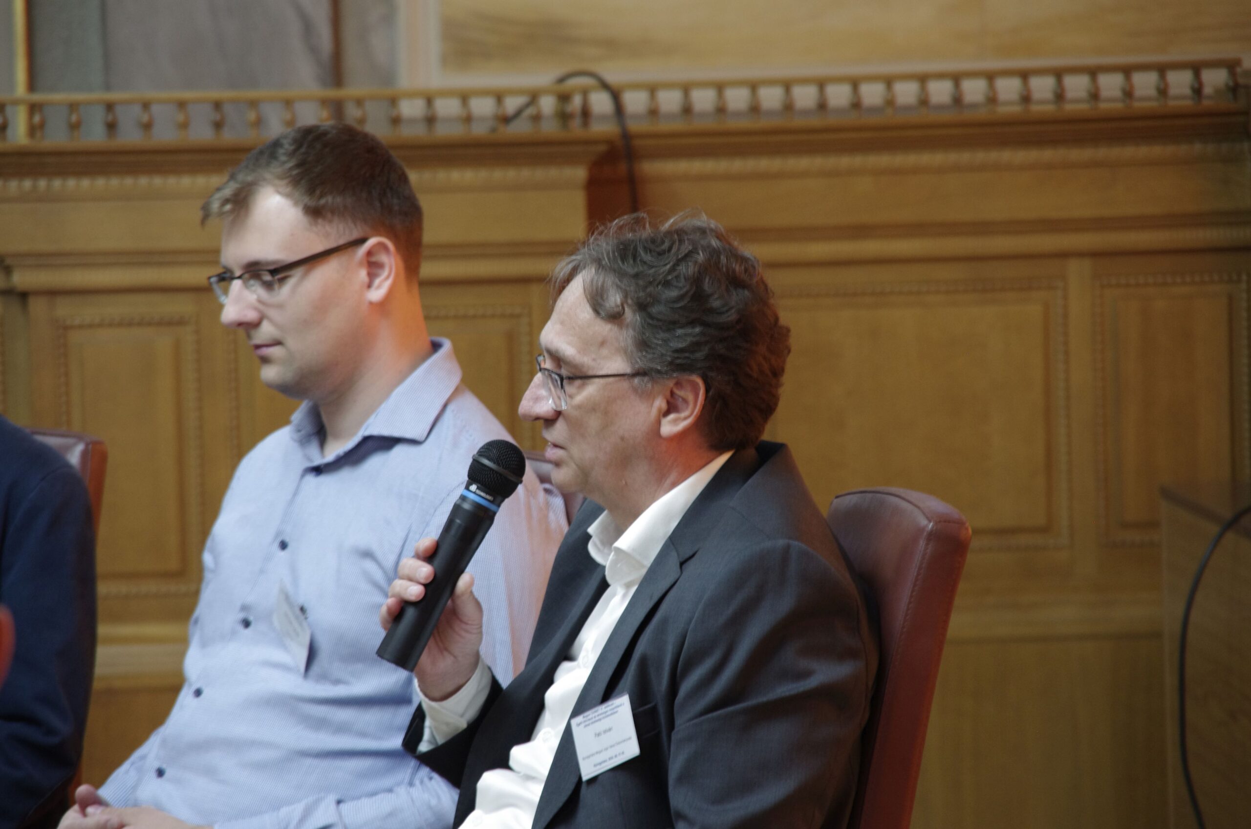
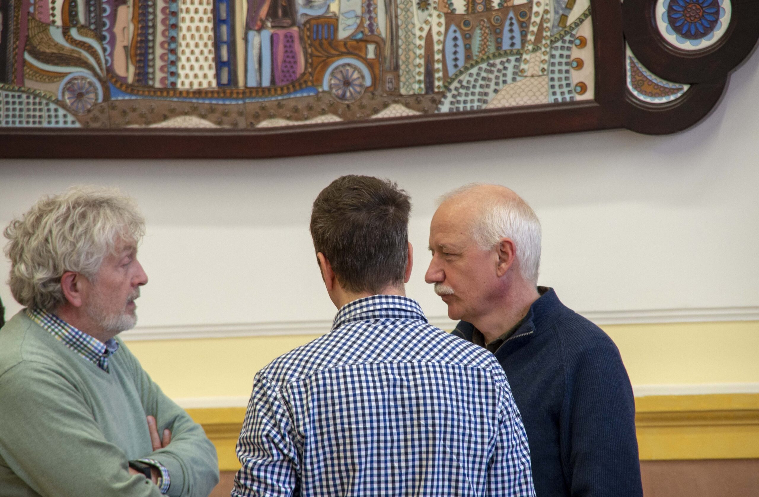
Experience in continued operation of used vehicles in the bus and trolley sectors
László Szedlmajer and Ákos Horváth shared the experiences of Budapest Transport Privately Held Corporation (BKV Ltd.). Following gaps in procurement, BKV purchased used buses (Van Hool) from abroad in 2009, and more used vehicles appeared after the establishment of Centre for Budapest Transport (BKK).
Hundreds of buses—Mercedes, Volvo, Van Hool—and MAN and Solaris trolleybuses have temporarily met the capital’s vehicle needs, though used vehicles cannot match the quality of new ones. Over the past ten years, new buses have also appeared through rental and availability schemes. Overall, such forms of operation are solutions born out of necessity in the absence of stable financing, but they can be a viable alternative if the contractual terms are appropriate.
László Szedlmajer and Ákos Horváth, BKV

Photos: András Ekés/Mobilissimus
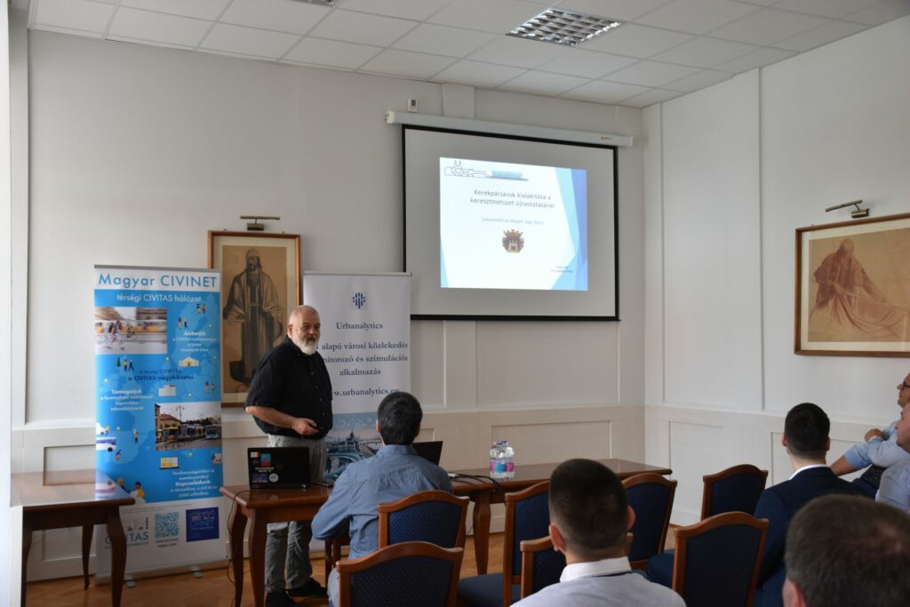
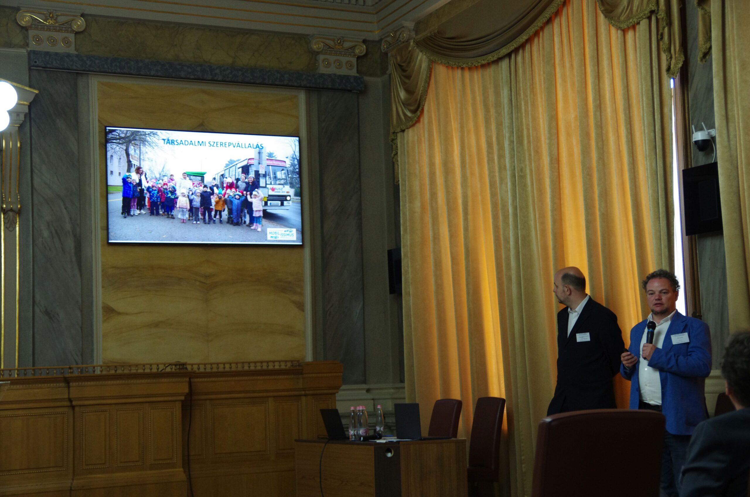
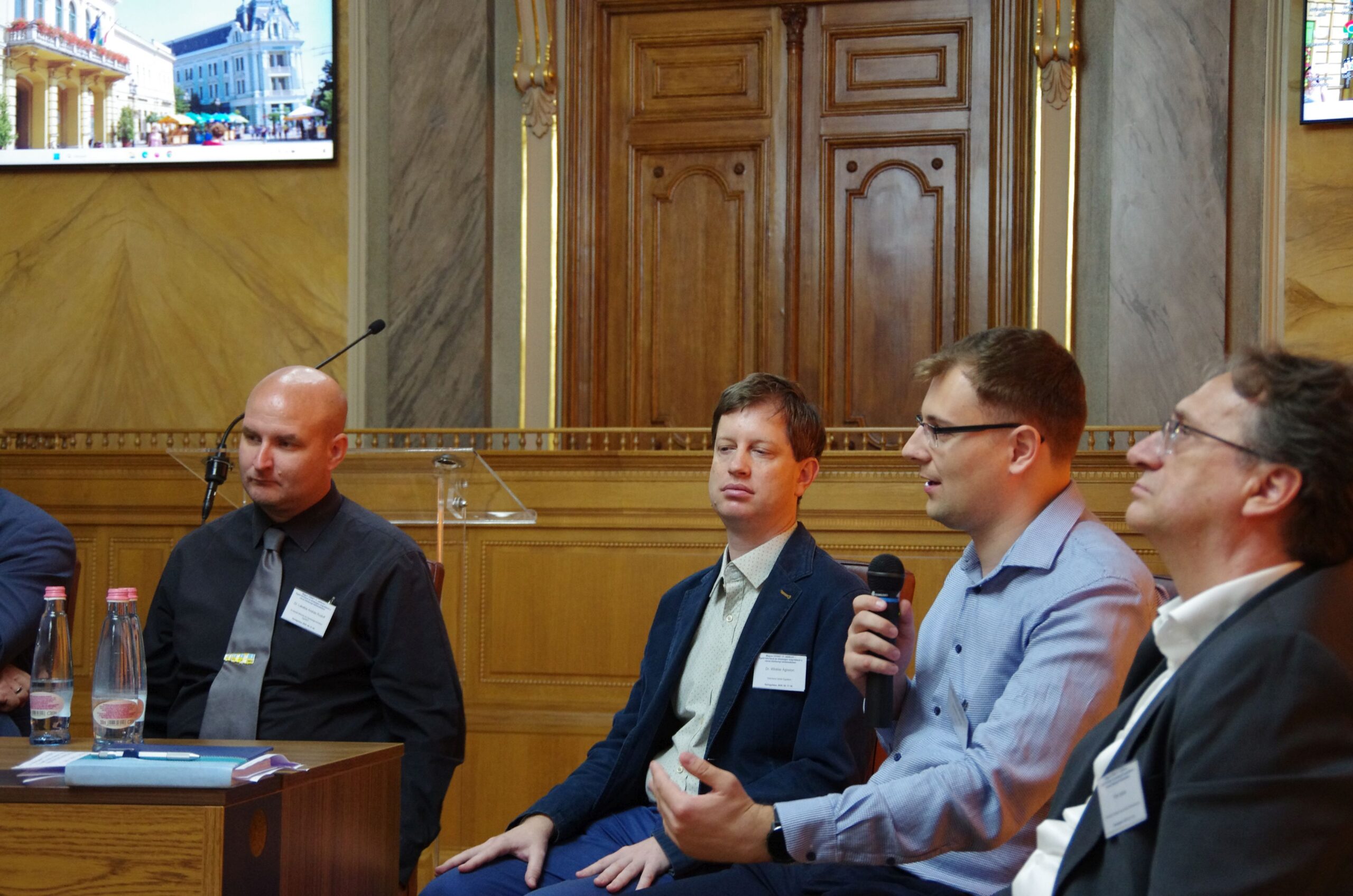
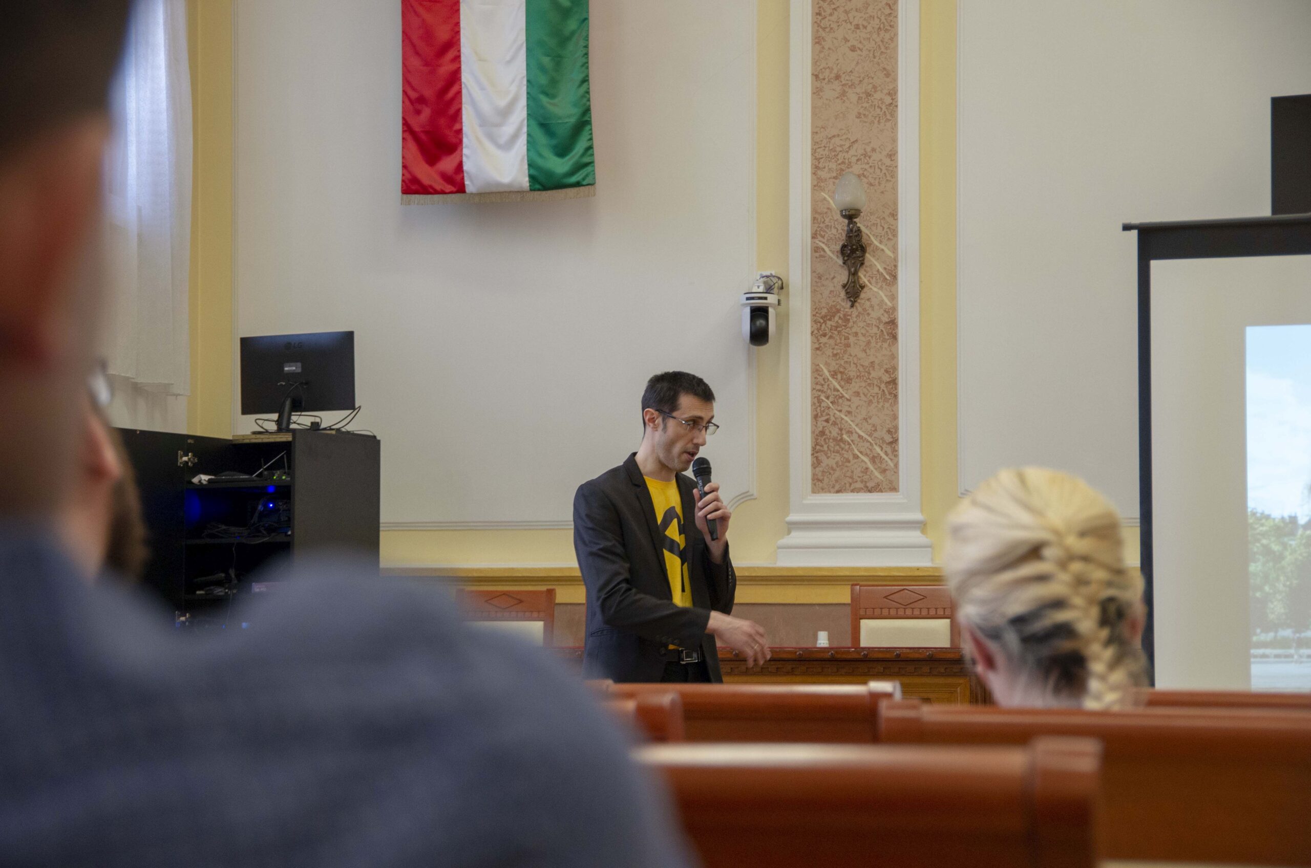
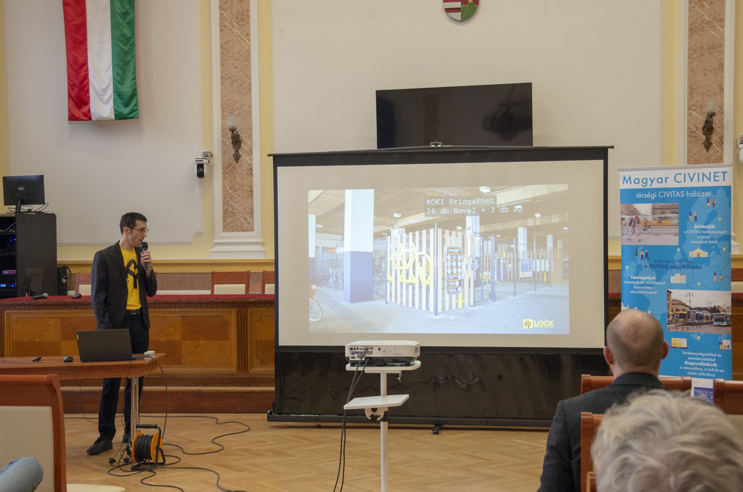
Presentation of the CE4CE pilot projects in Szeged
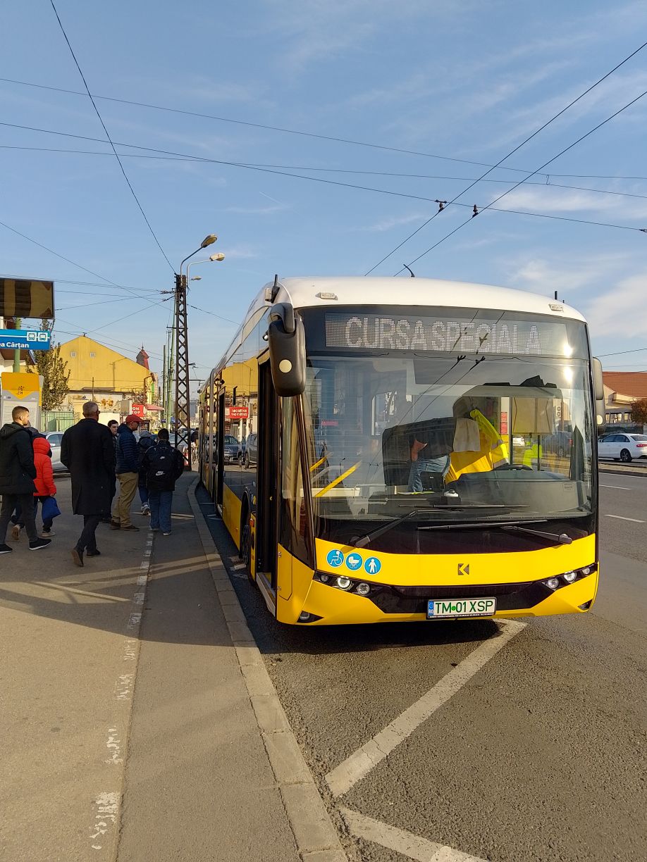
Dr. Ádám Zoltán Németh, Head of Public Transport and Rail Safety at SZKT, talked about the pilot projects in Szeged within the CE4CE project. He emphasized that the purchase of used vehicles in Szeged was driven by necessity rather than a commitment to the circular economy.
As a municipally owned company, SZKT has rarely purchased new vehicles, but acquisition of used vehicles is ongoing. Through refurbishment, these vehicles can be brought to like-new condition, replacing older high-floor, non-air-conditioned units and improving service quality.
Zoltán Ádám Németh, PhD
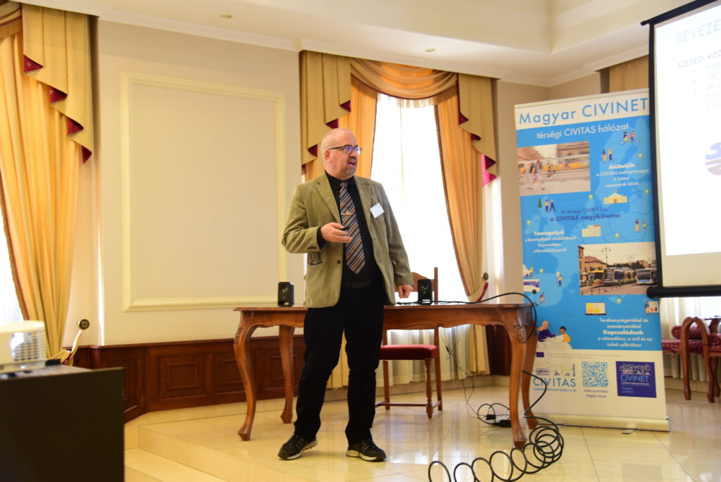
Photo: András Ekés/Mobilissimus
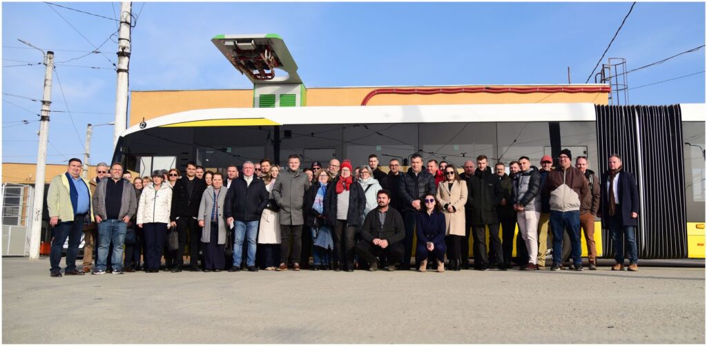
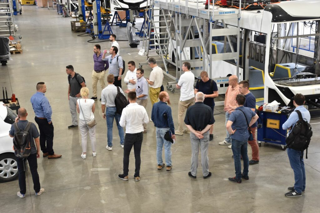
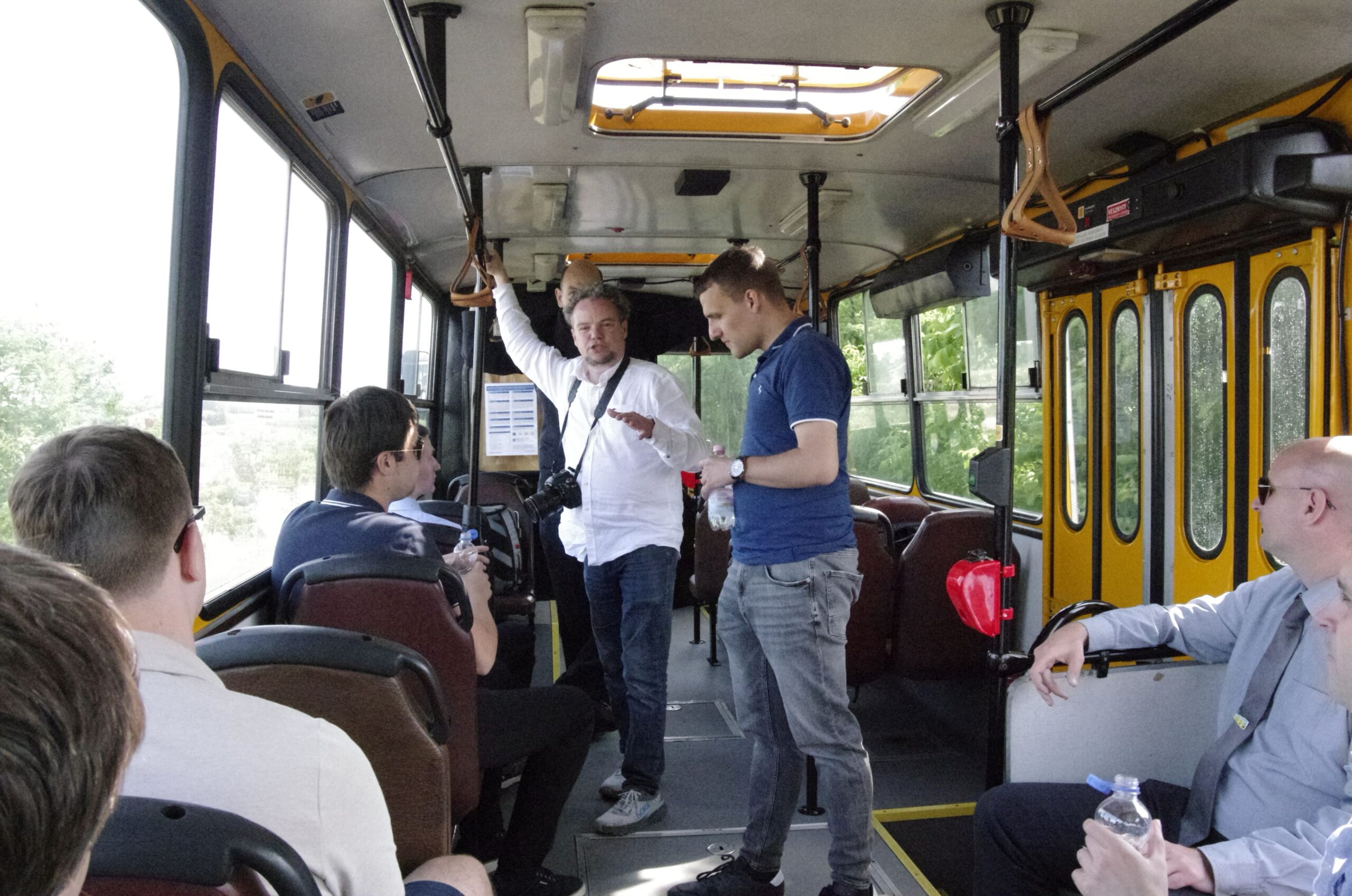
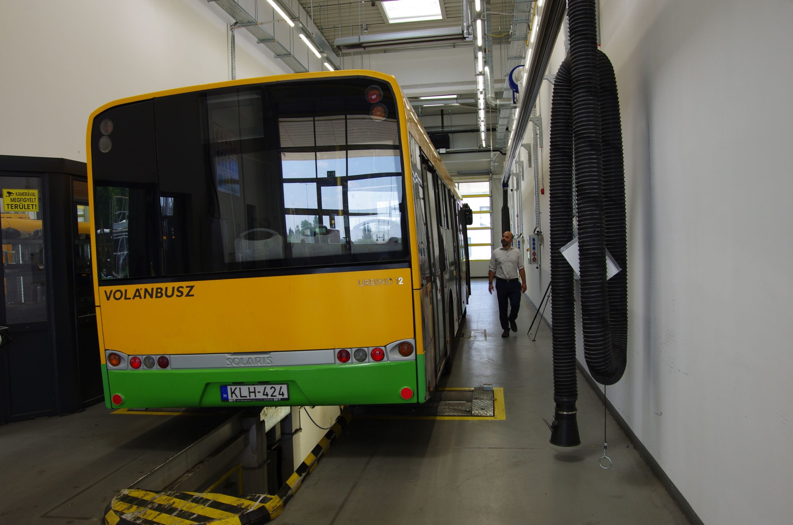
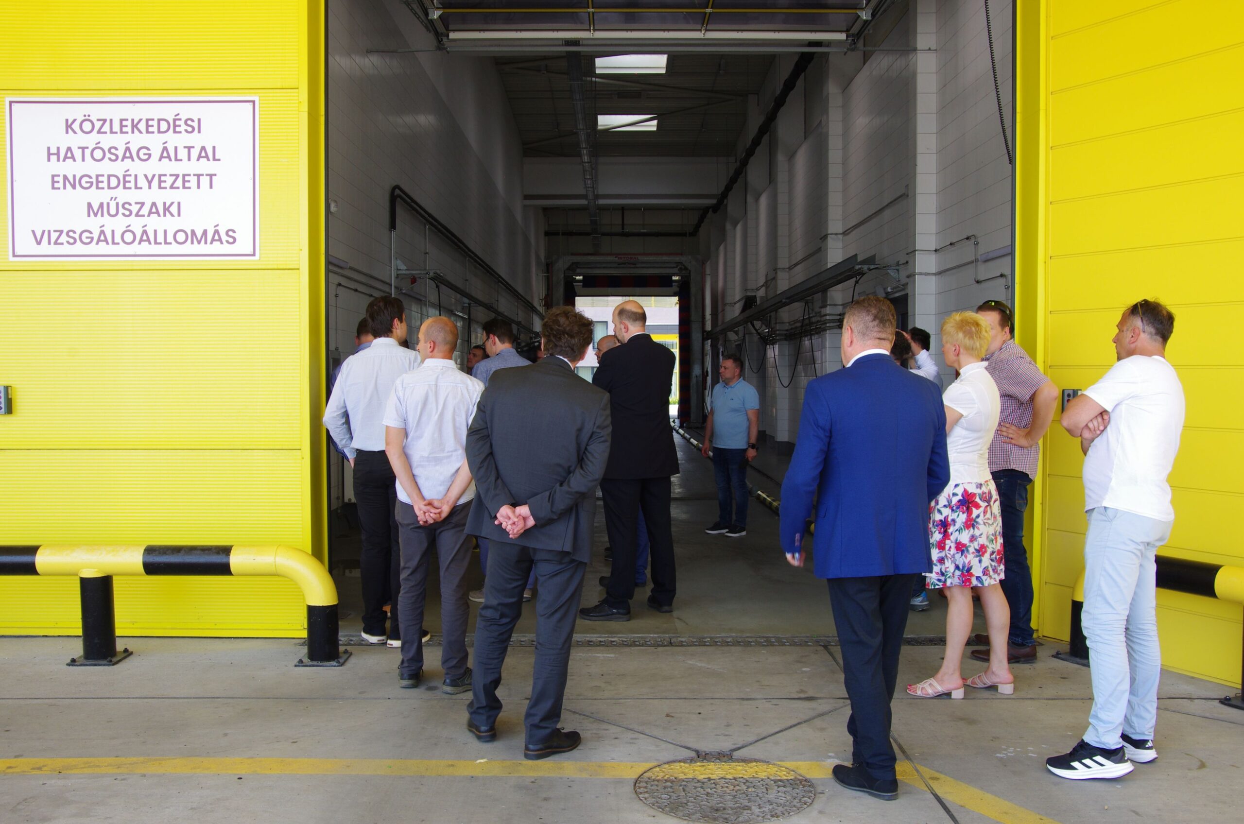
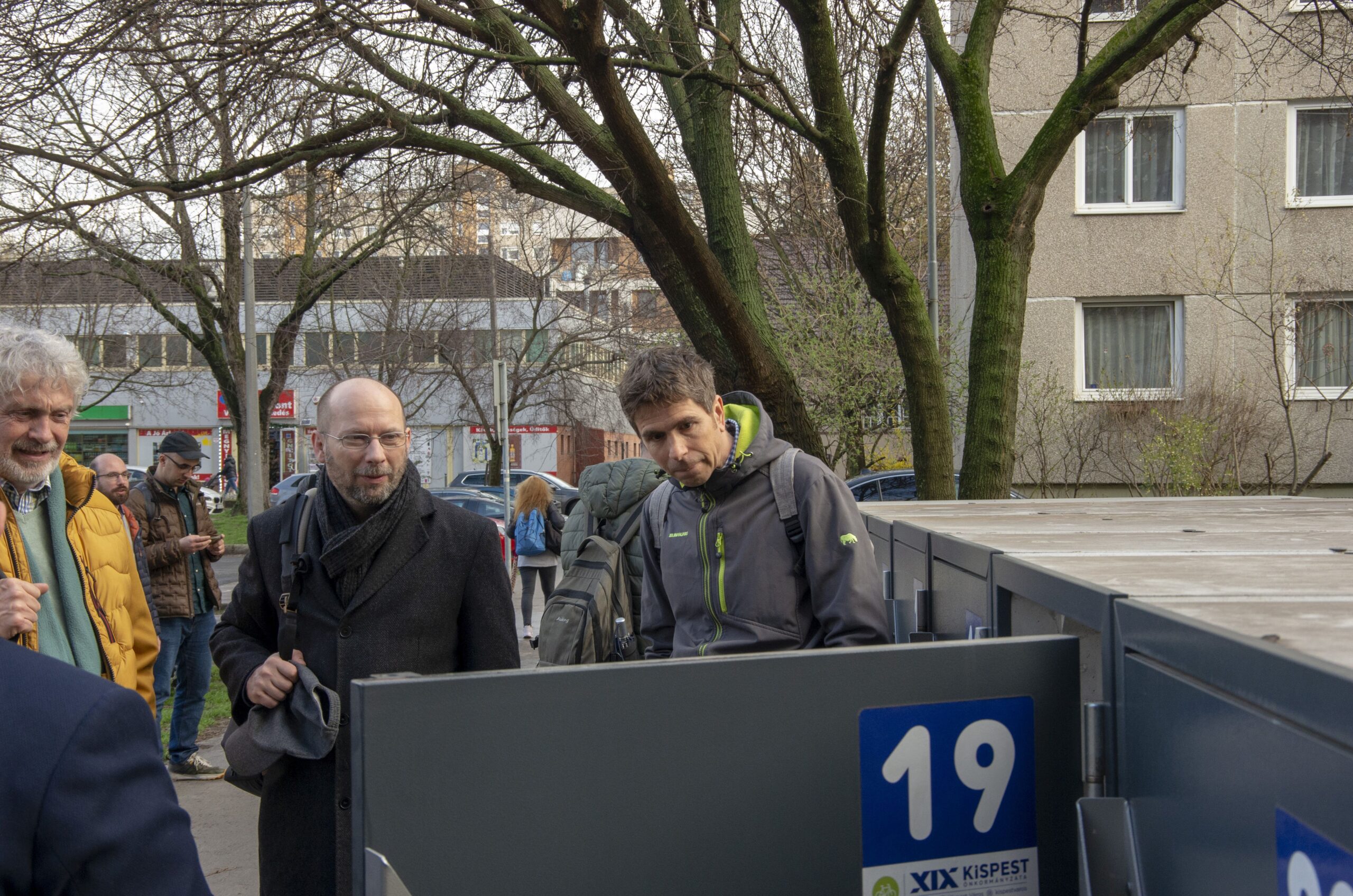
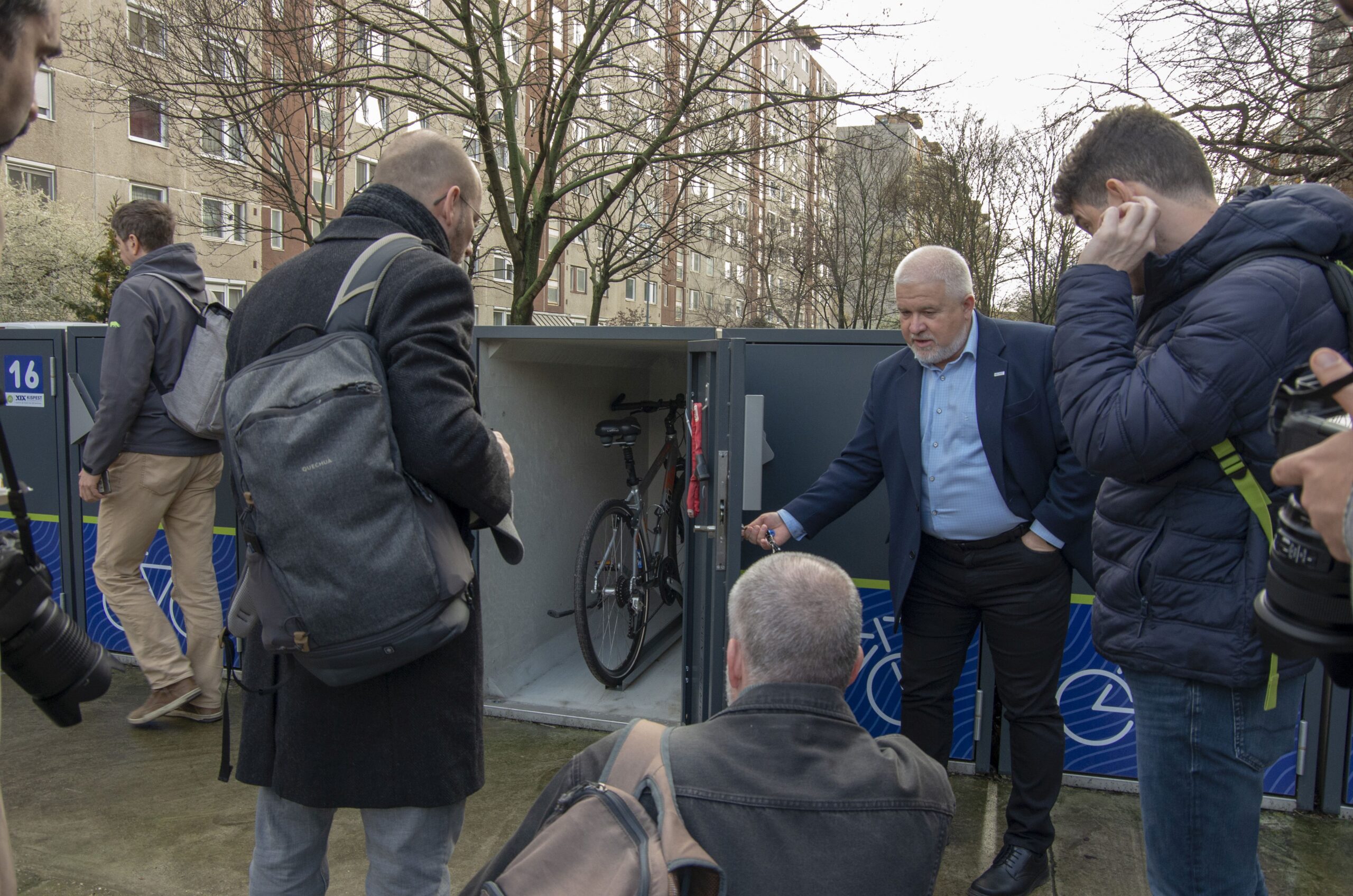
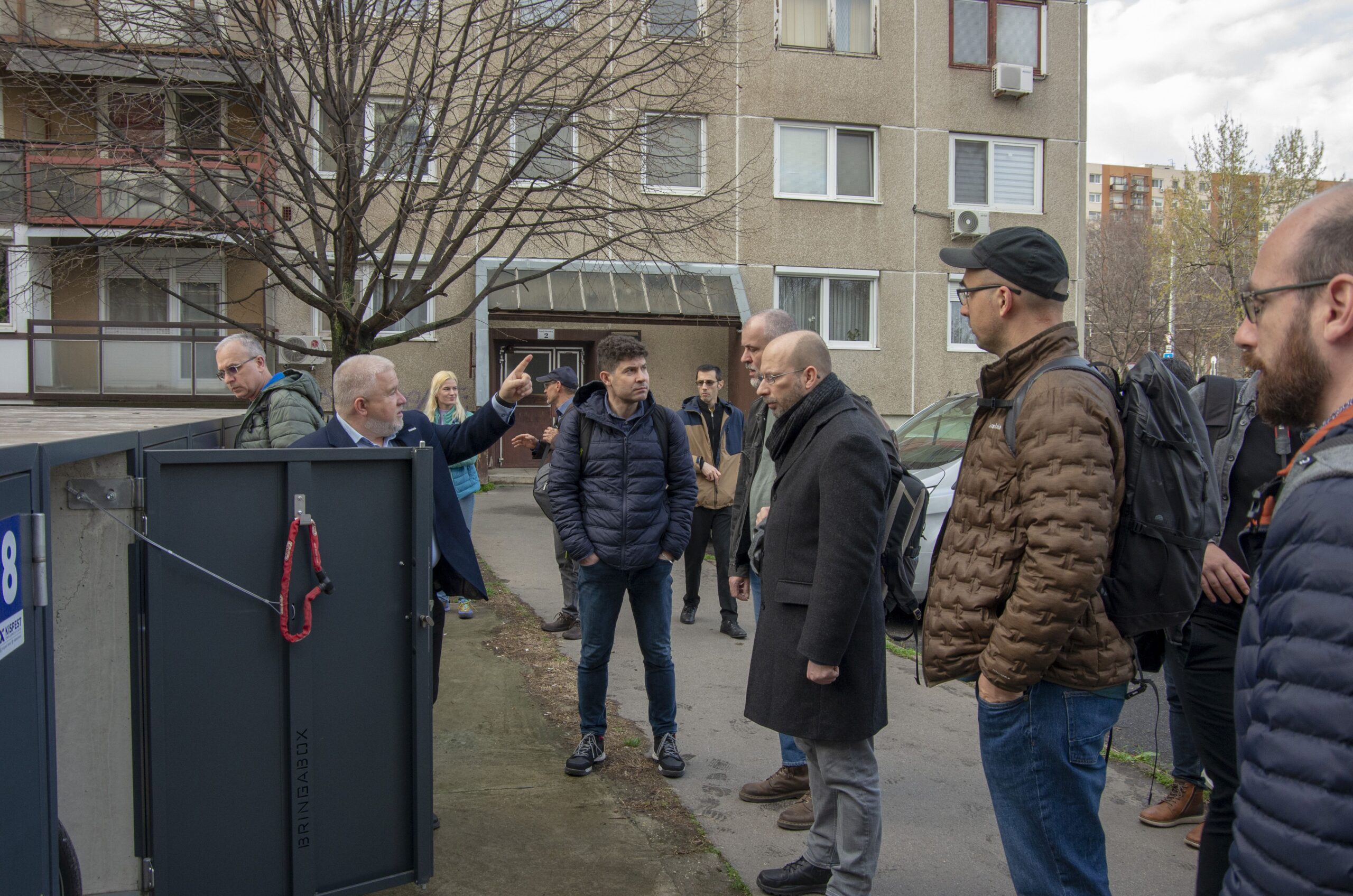
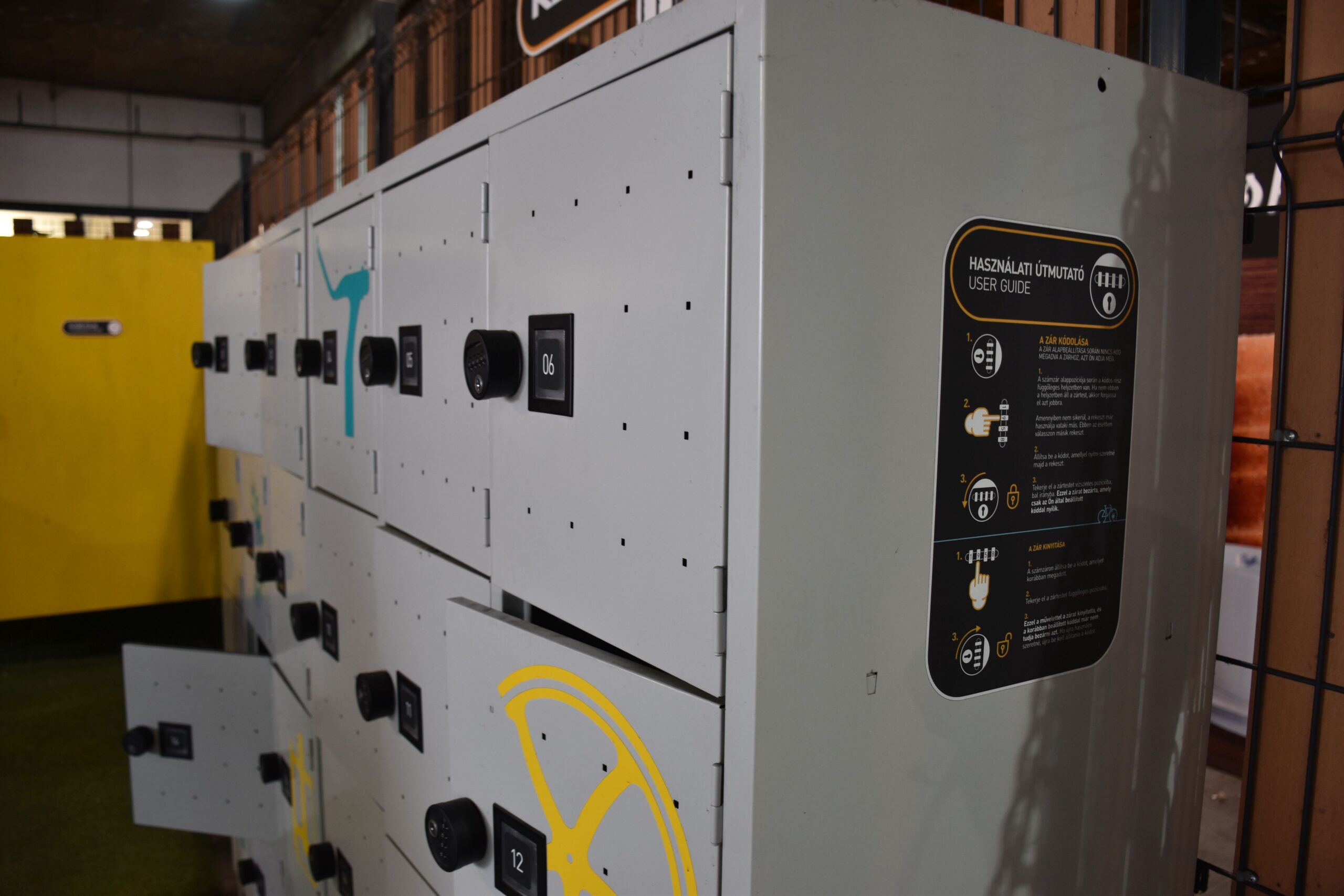
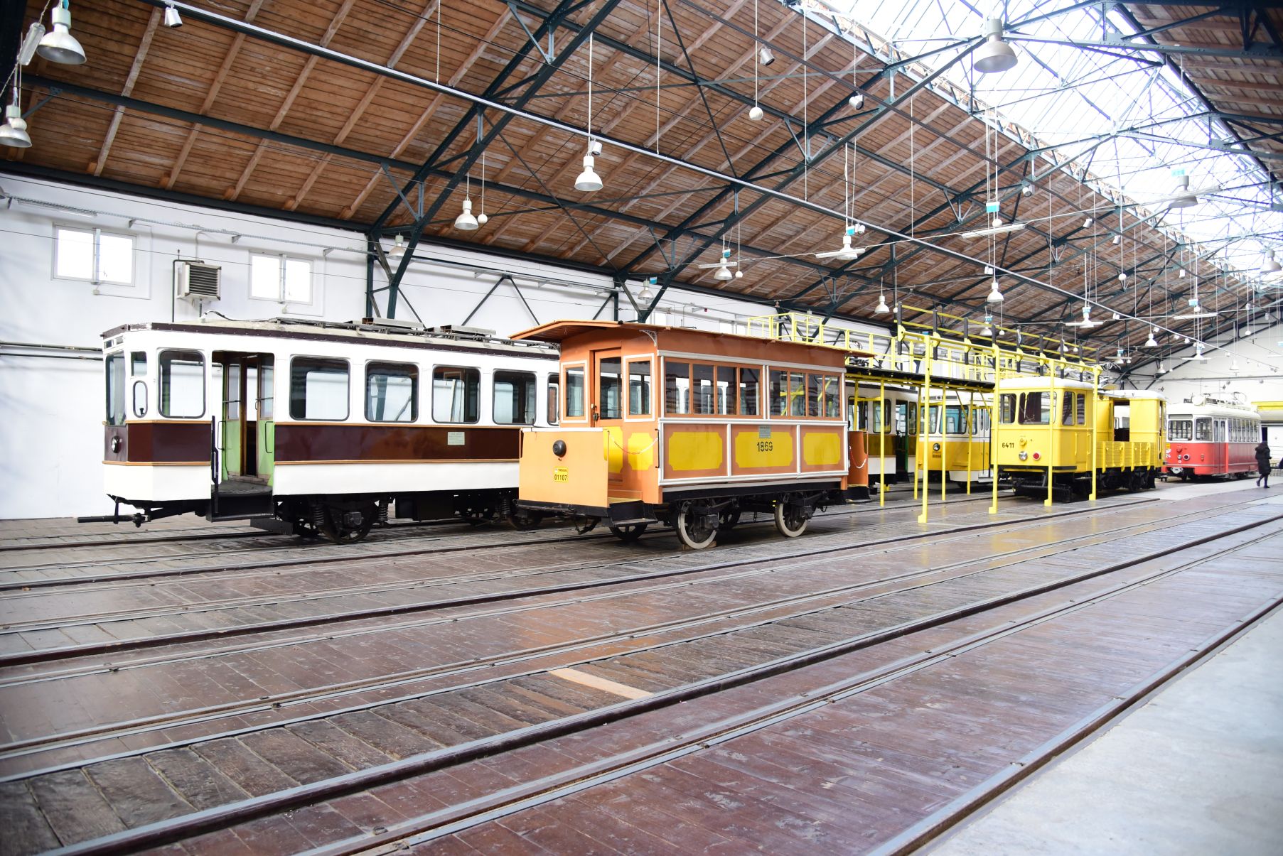
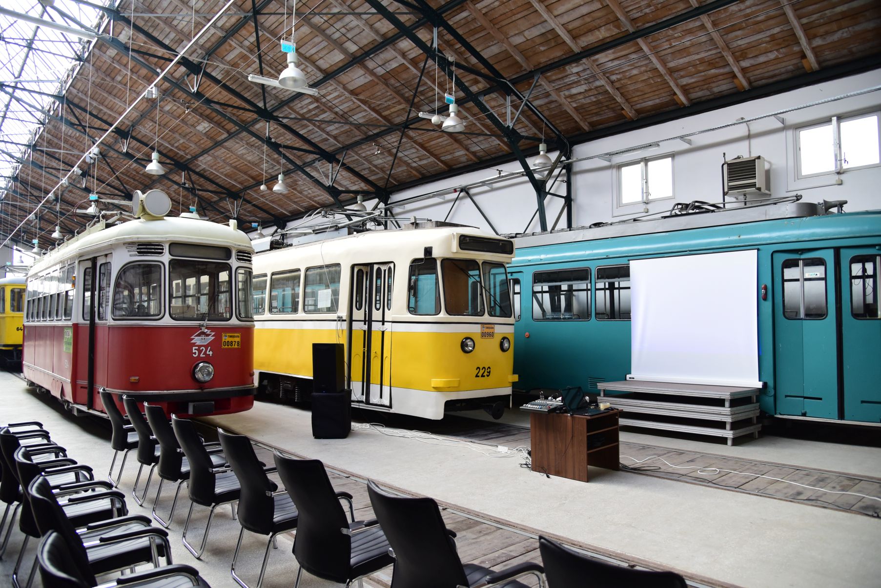
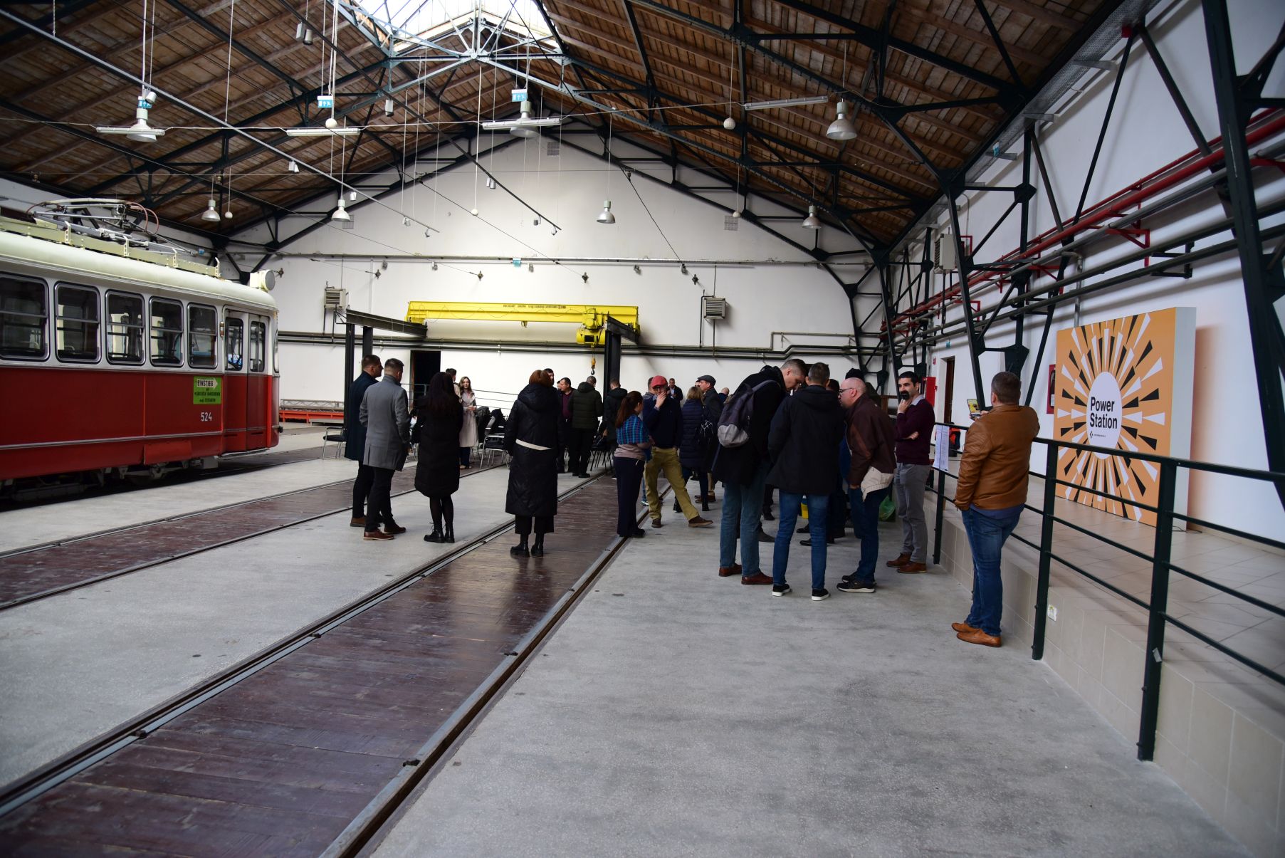
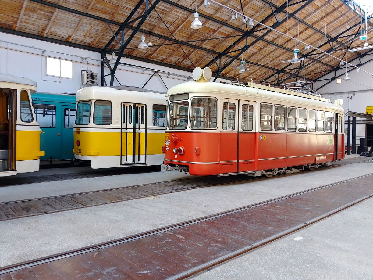
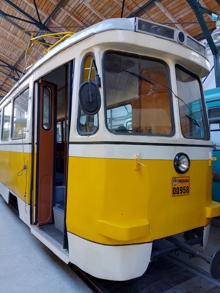
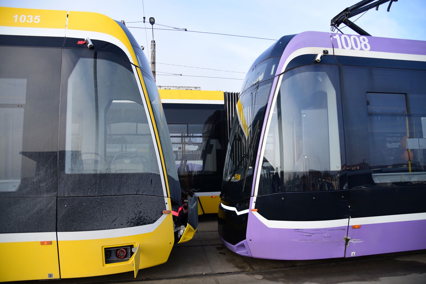
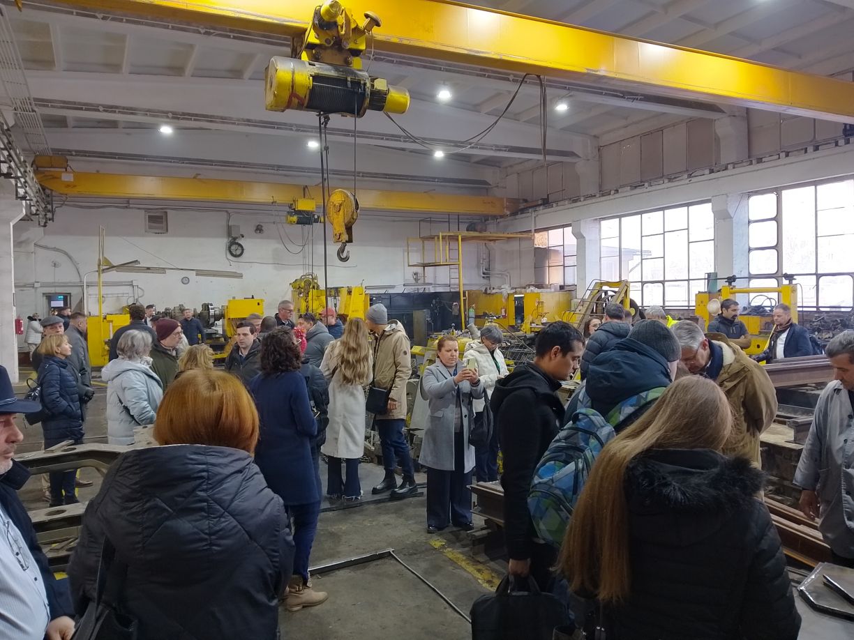
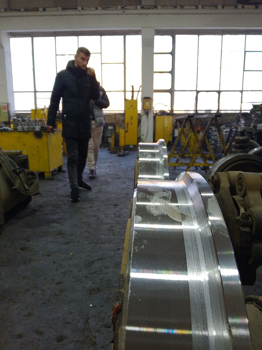
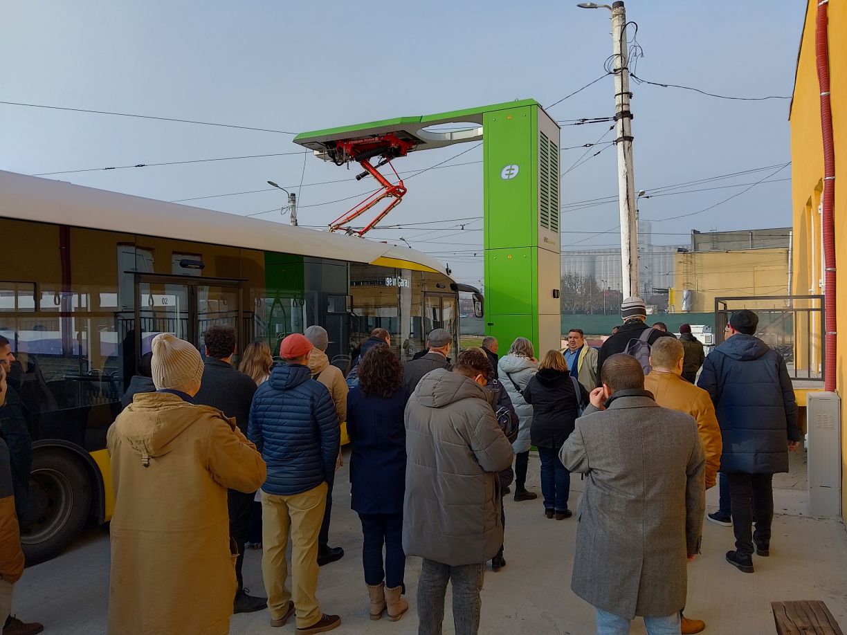
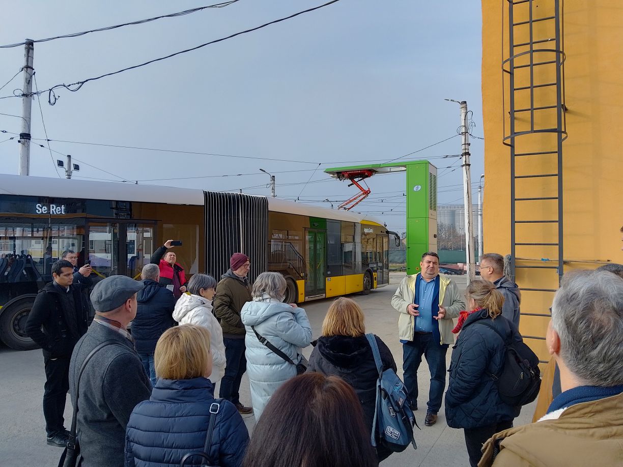
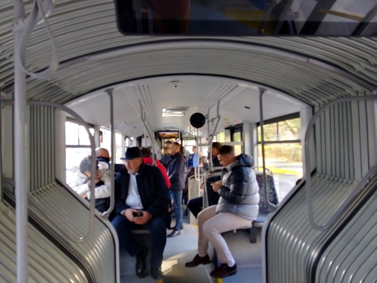
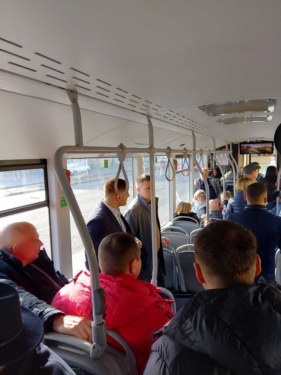
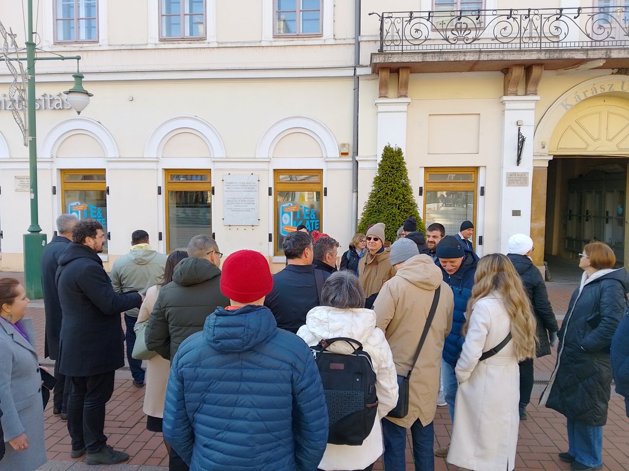
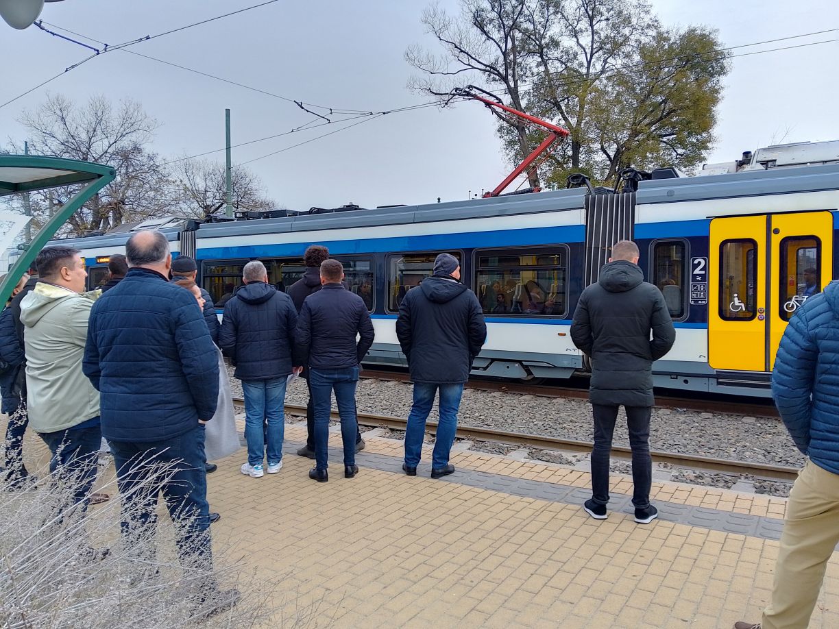
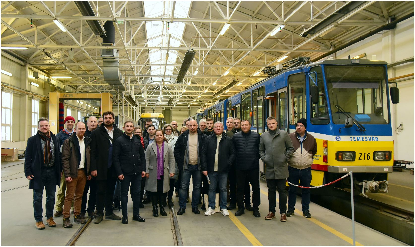
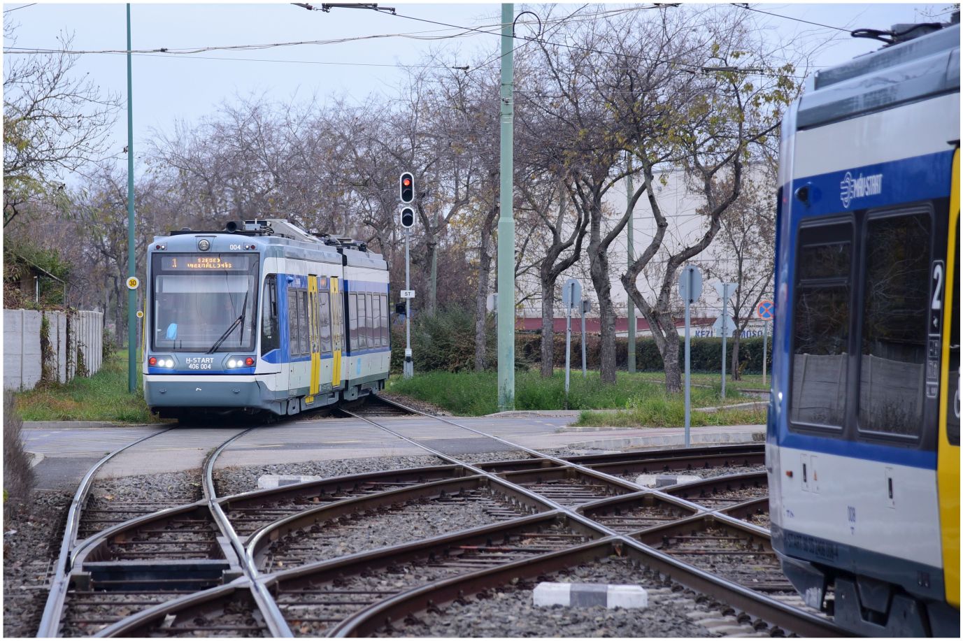
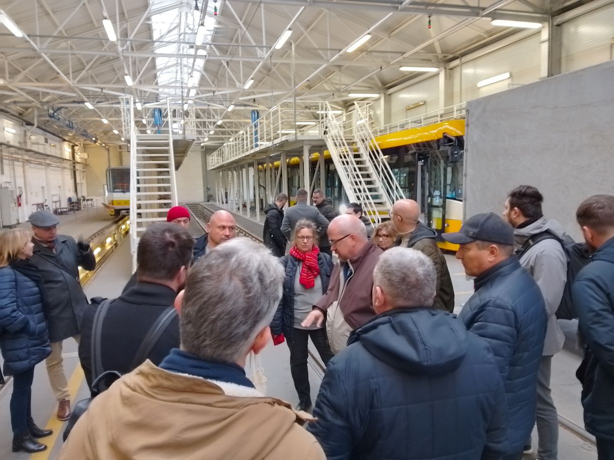
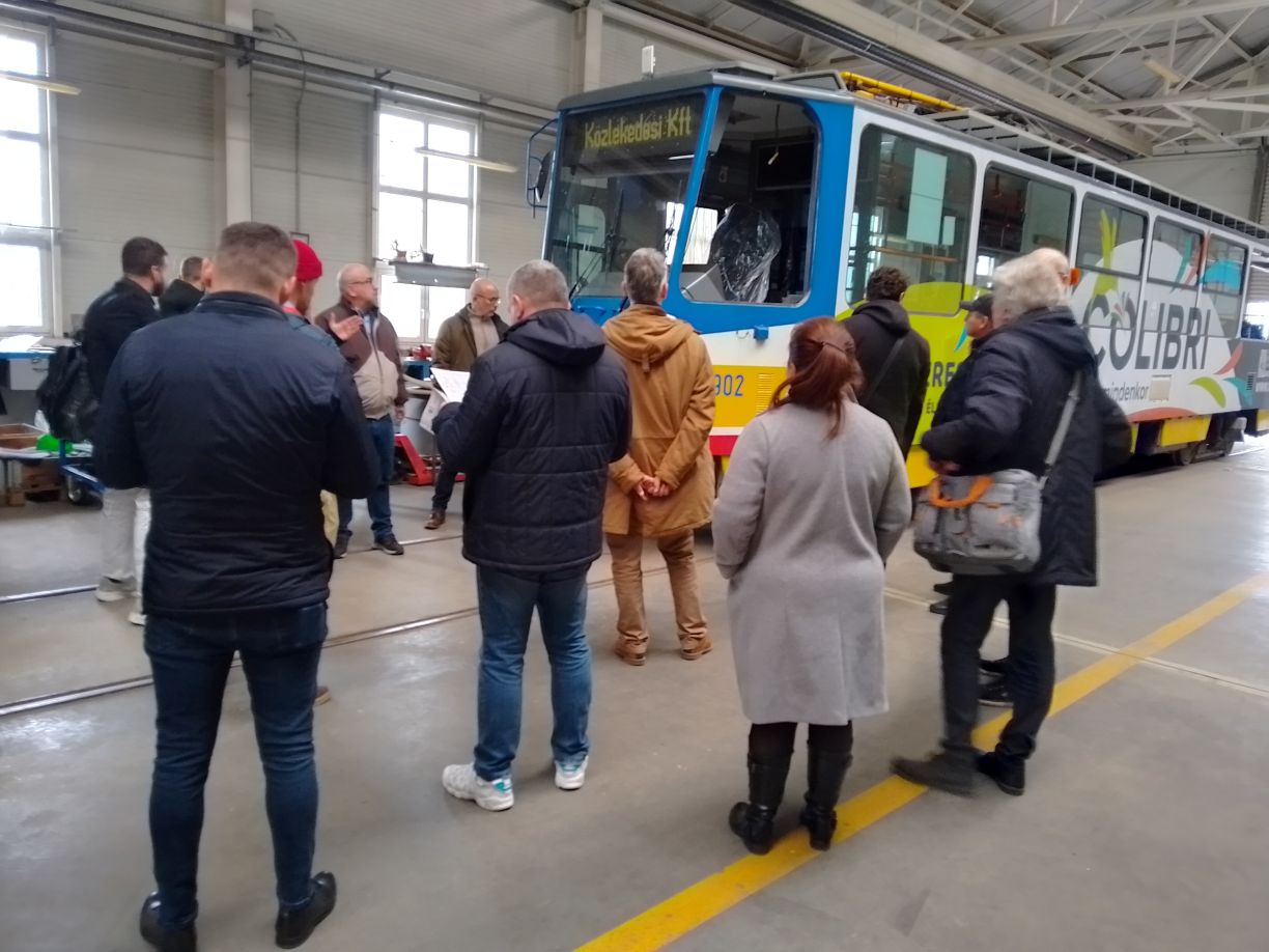
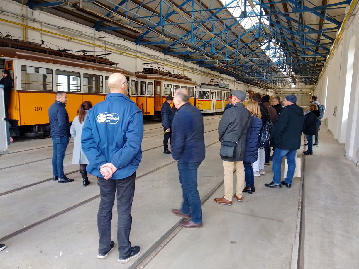
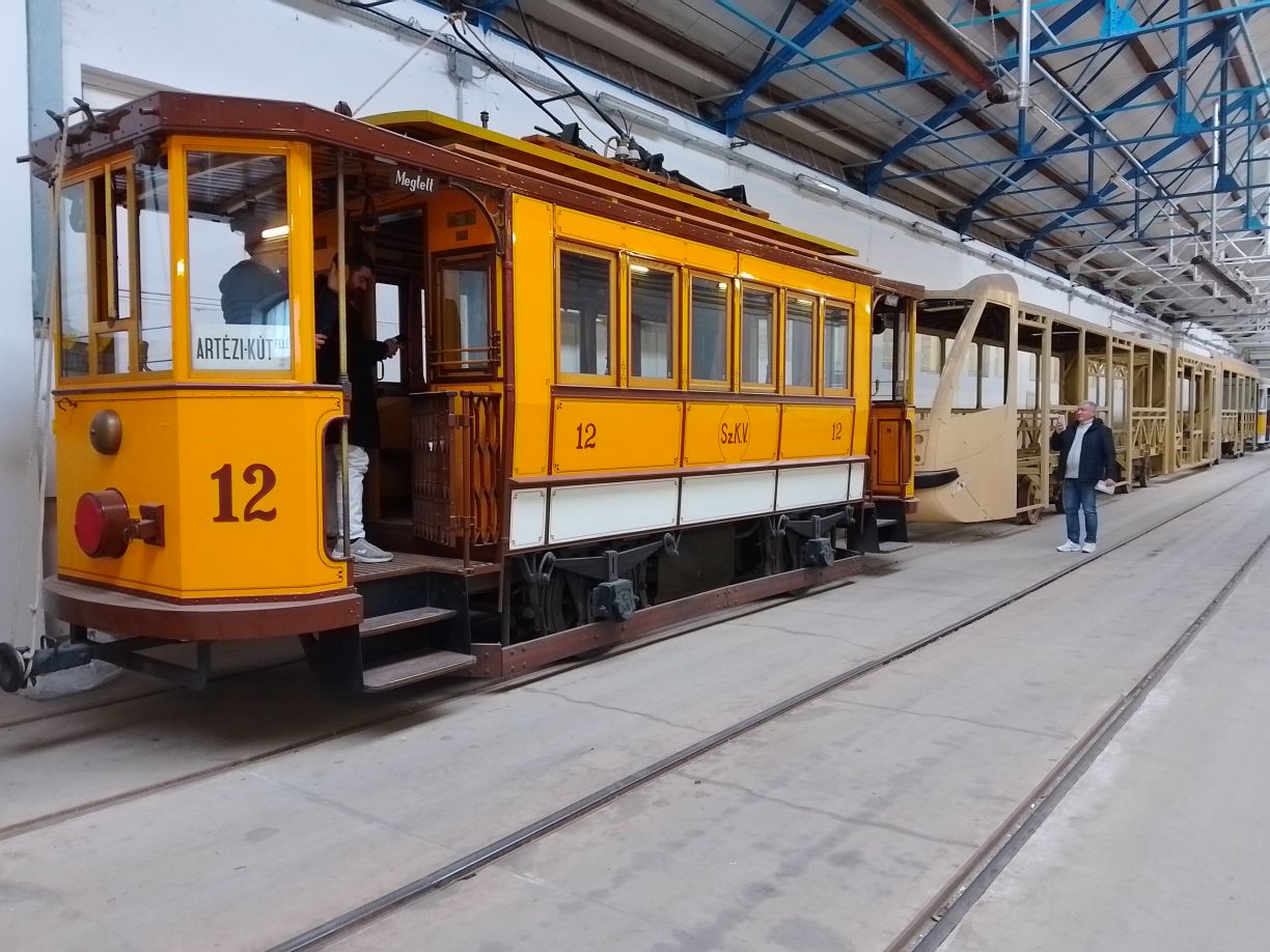
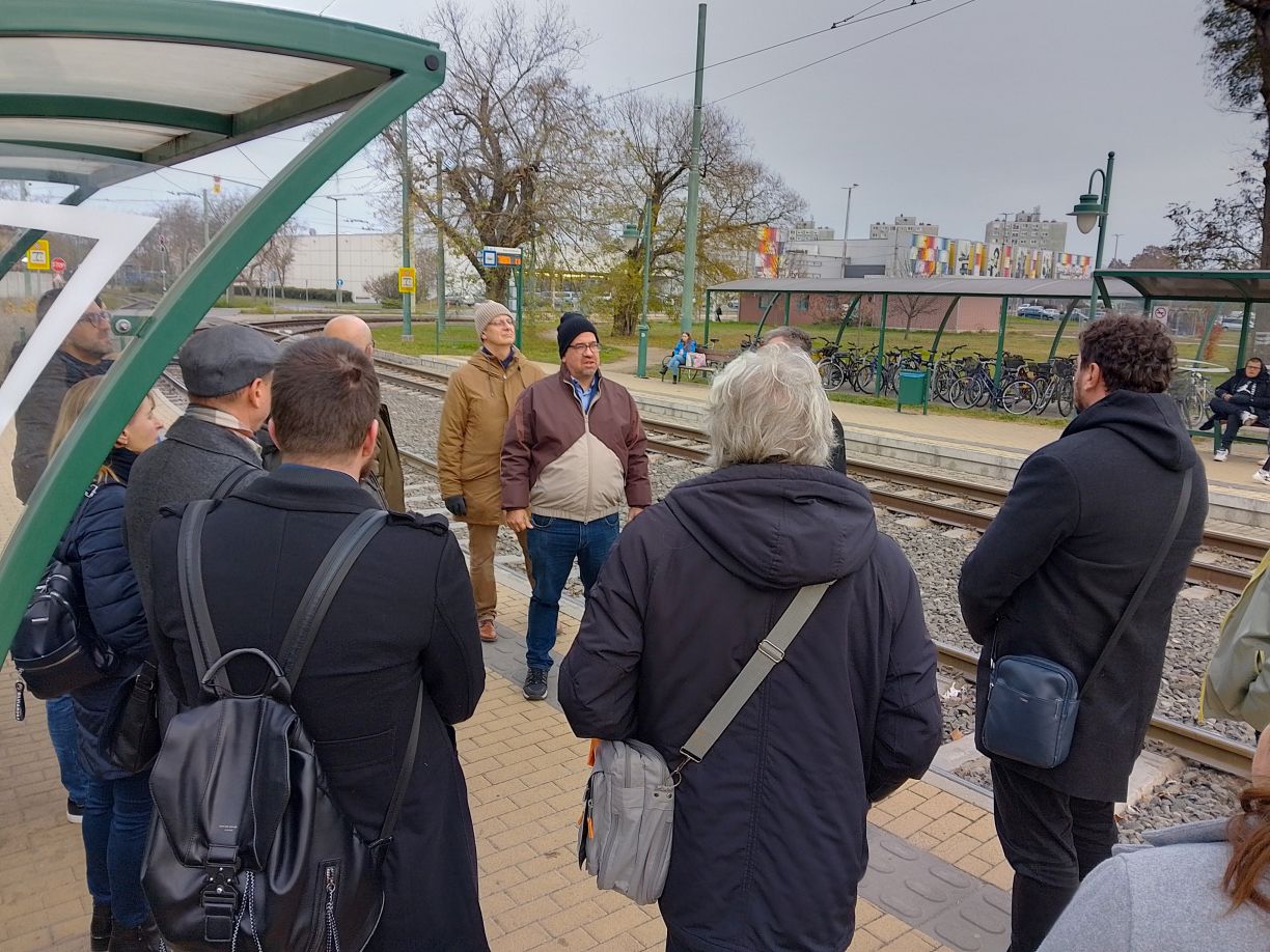
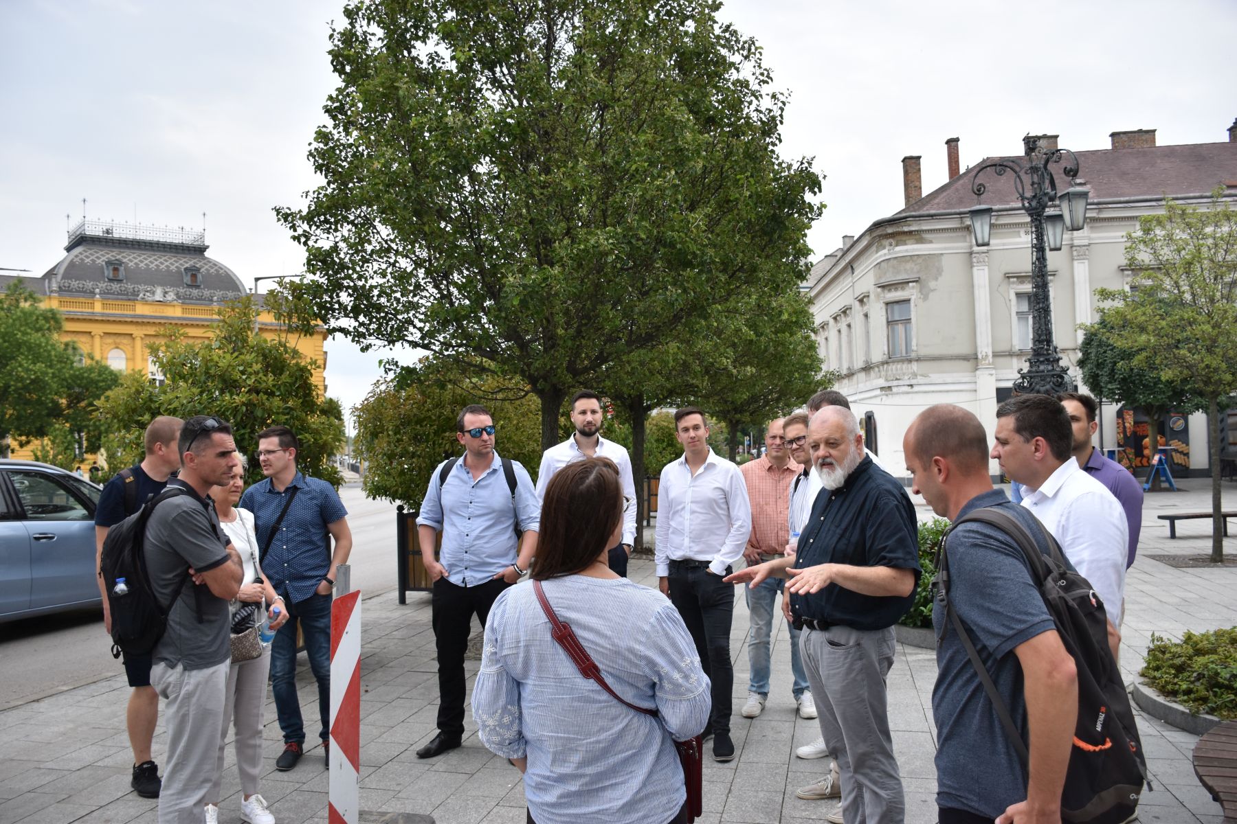
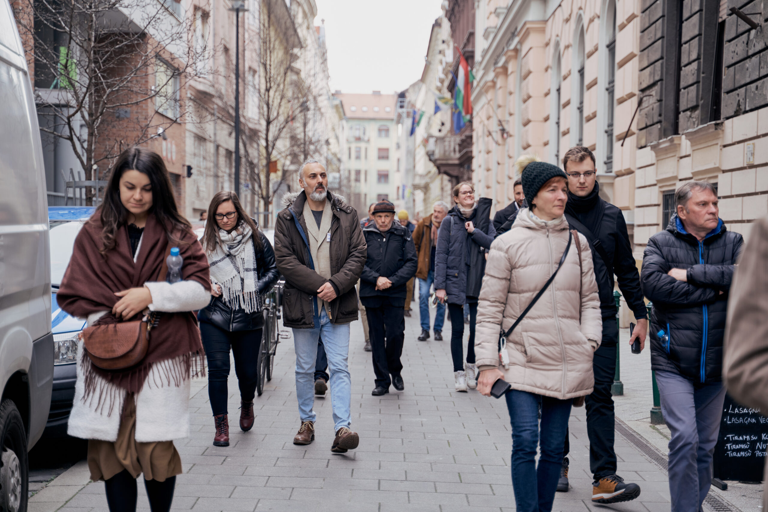
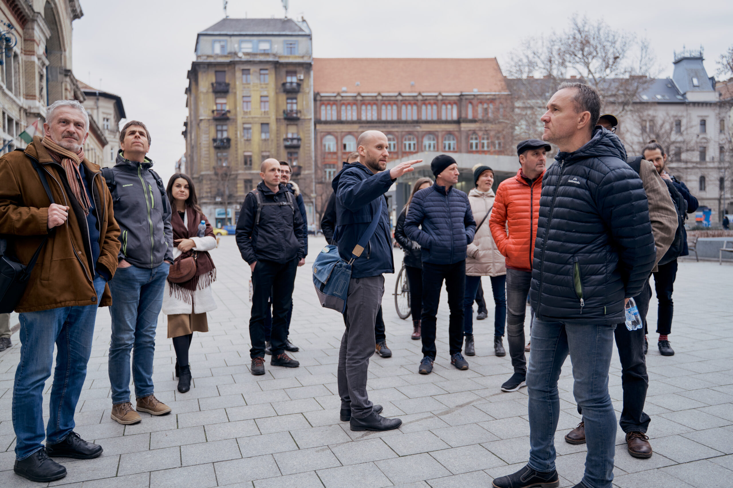
Tram depot visit
Following the presentations, participants visited the tram depot, where traditional TATRA trams and modern low-floor PESA trams, forming the fleet’s backbone, were showcased. Special attention was given to on-site repair and improvement of door-opening mechanisms as part of the CE4CE project. Experts explained that fine-tuning factory designs and targeted part replacement can significantly extend vehicle lifespan. During the site visit, participants also learned about the operational characteristics of tram-train vehicles and their impact on the tram network in Szeged.

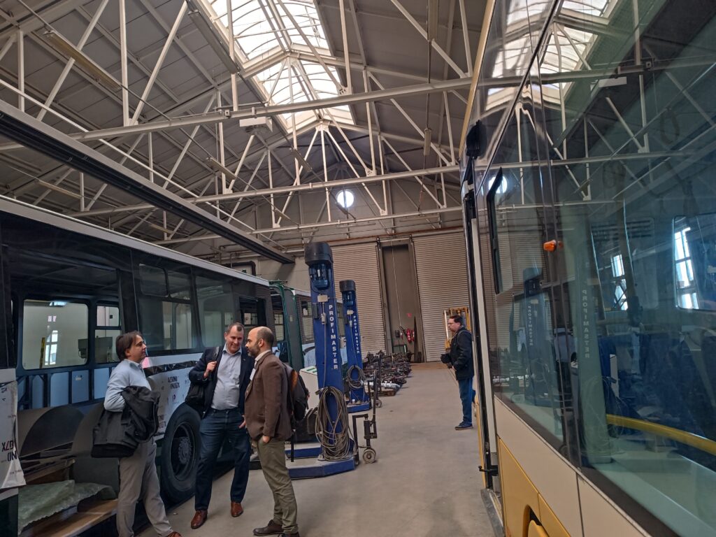
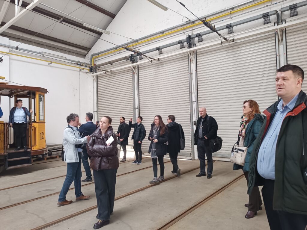
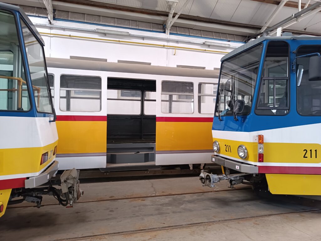
Photos: Ráchel Surányi/Mobilissimus


